If you want to experience the absolute full-scale majesty of Yosemite in a single day—and you have the raw endurance to survive 50,000 steps, 20+ miles, and 4,500+ vertical feet (ignore the AllTrails #s)—there is only one route to take.
The legendary Grand Tour loop is a monster of a day hike that stitches together the relentless, thigh-burning switchbacks of the Four Mile Trail, the jaw-dropping backcountry vistas of the Panorama Trail, and the misty, thundering descent of the Mist Trail.
It is a grueling, visual masterpiece of a loop that takes you from the valley floor, straight up to the mountain rim, past three massive waterfall systems, and back down. Here is the unfiltered field guide to surviving and photographing the ultimate Yosemite trek.
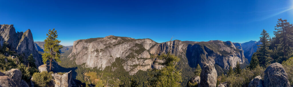
Note: This is the final blog in this series and also by far the longest. Due to the length and grandeur of the hike, there is a lot to cover. But it is worth it.
The Ascent: Relentless Switchbacks on Four Mile Trail
We broke camp early to beat the direct valley heat, hitting the trailhead for the Four Mile Trail. Don’t let the name fool you—it is closer to 4.8 miles of continuous, steep, uphill switchbacks that climb over 3,200 vertical feet.
As you grind your way up the granite walls, the pine trees begin to thin out, and the valley floor drops away below you. Every corner you turn rewards you with an increasingly dramatic perspective of El Capitan.
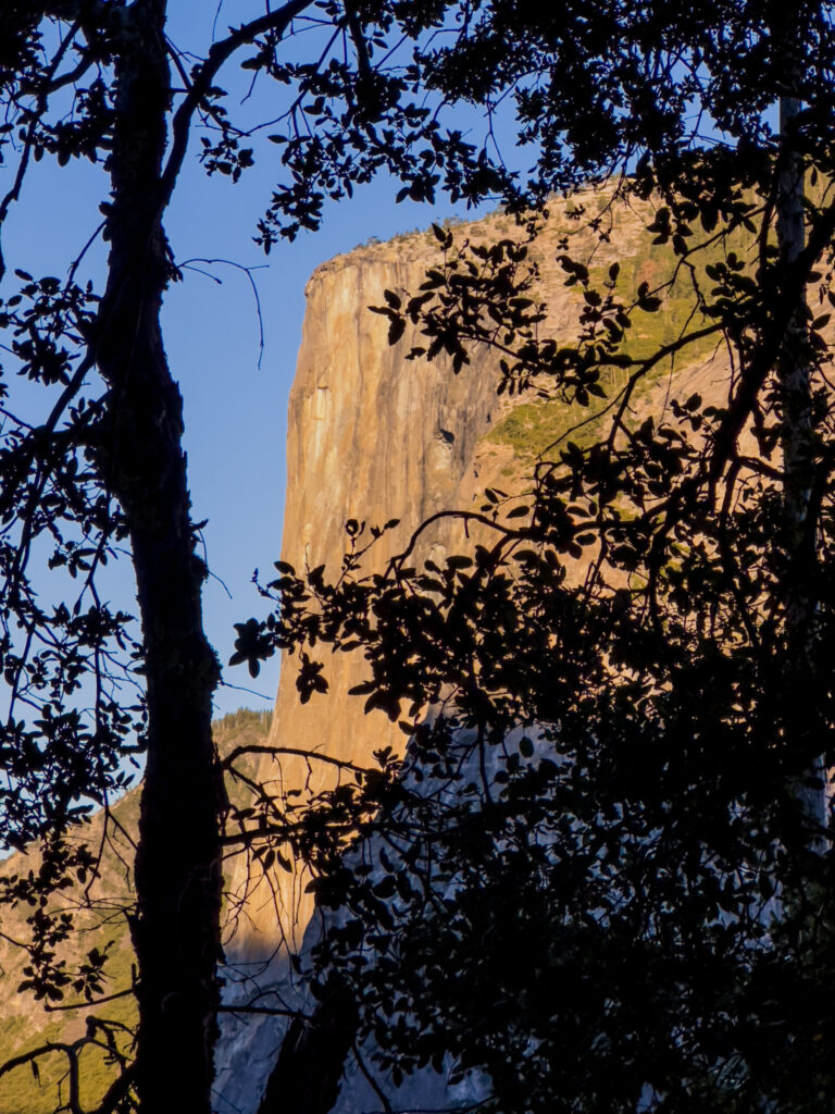
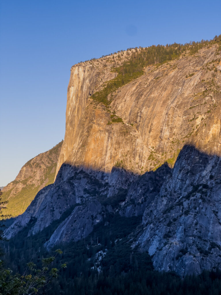
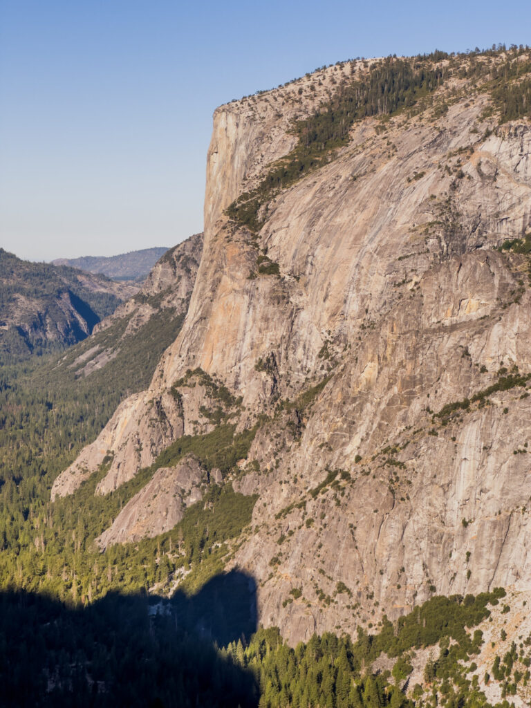
As you finally near the grueling end of the Four Mile Trail and approach the 3,200-foot rim, the terrain shifts from standard dirt switchbacks into a dizzying engineering marvel. This is the stretch where the path is literally blasted out of the sheer, vertical granite wall itself. Standing on a narrow stone shelf with a massive rock face hugging your shoulder and an absolute abyss dropping away on the other side gives you an instant, heart-pounding dose of high-country exposure.
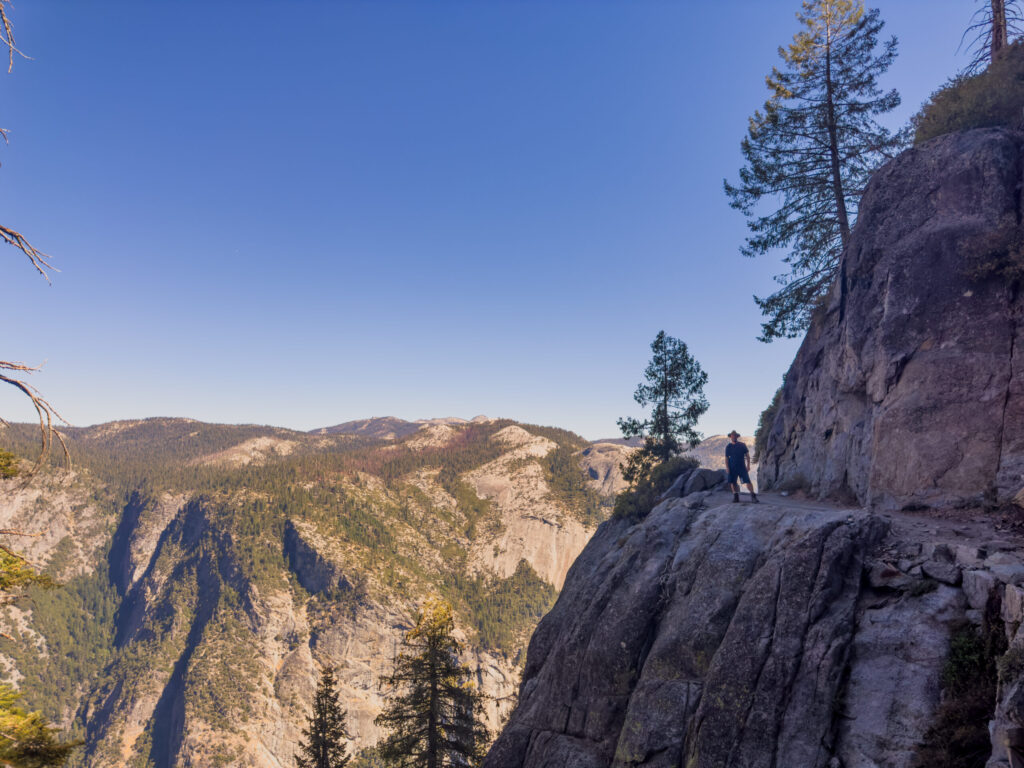
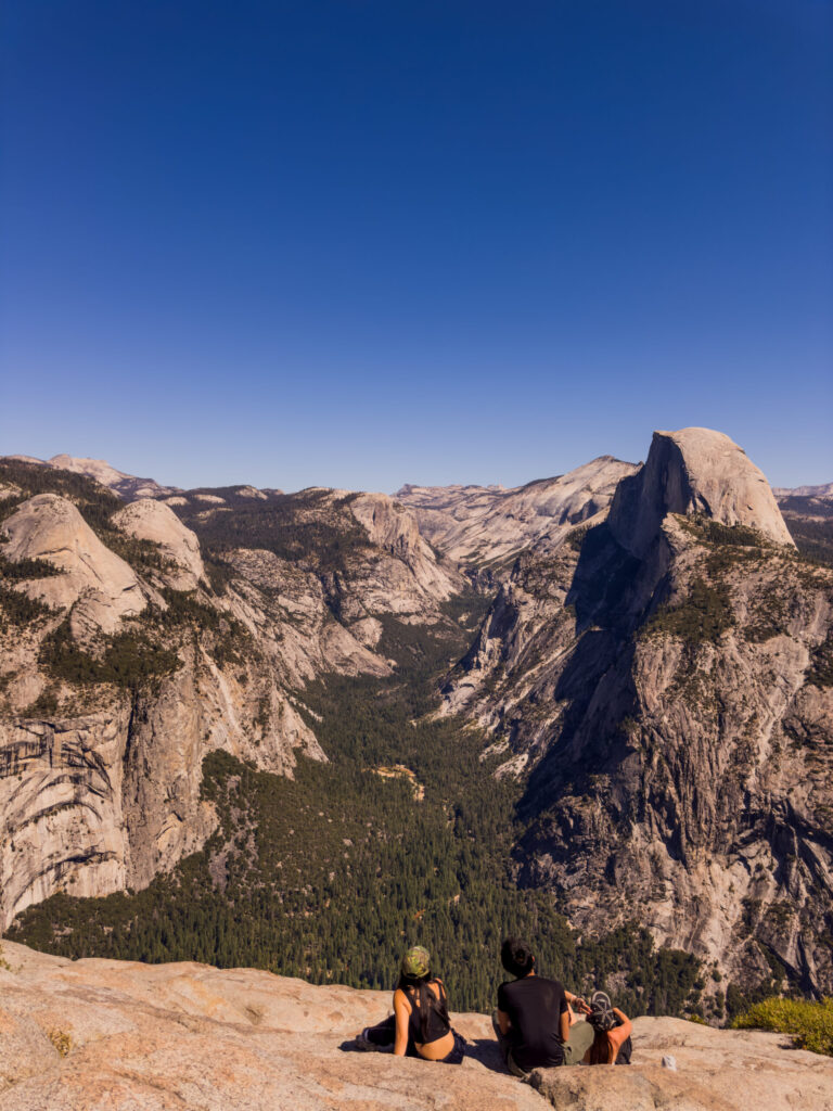
Looking back over the canyon from this raw, unprotected vantage point, the dizzying scale of the valley floor hits you all at once, transforming a brutal uphill slog into a moment of pure, cinematic awe just before you reach the sanctuary of Glacier Point.
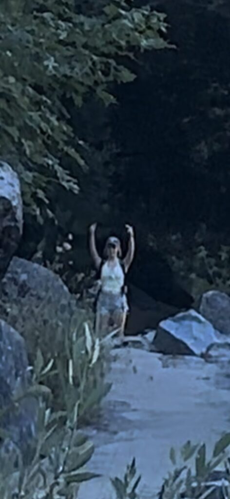
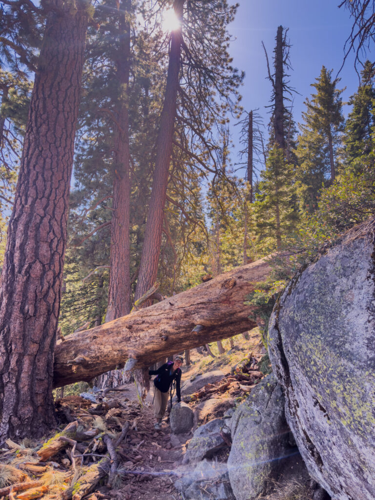
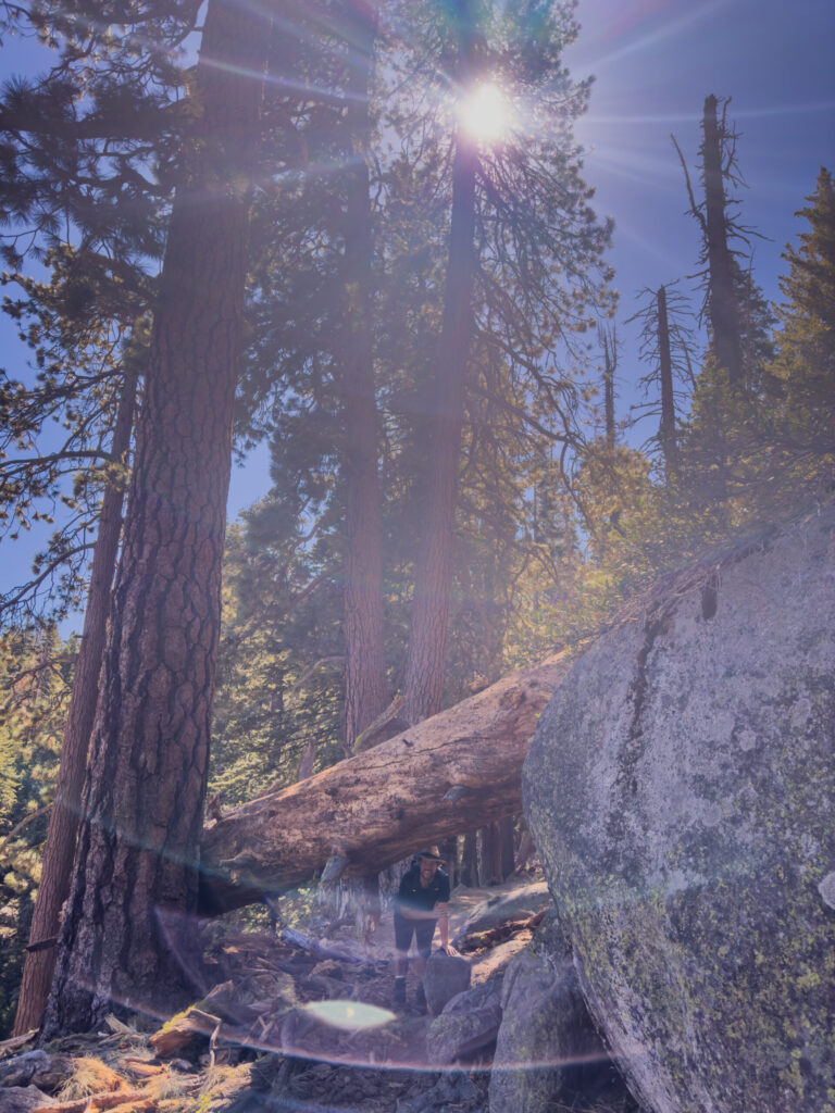
Note: The trail is pretty clean but not always perfect. Ran into this little fun spot immediately after the view above. She is a better photographer than I am.
Reaching the Rim: Glacier Point Rewards
Reaching Glacier Point on your own two feet feels entirely different than driving up via the park road. Your reward is an unparalleled, 360-degree orientation of the entire High Sierra country. There are some great spots to “pop a squat” and eat a snack or two. The park also provides places to refill your water and use the restroom (not the same place).
Speaking of refilling water, I was refilling my daughter’s water when I realized she had not hung it from the backpack’s internal straps. I gladly corrected this for her. However, afterwards, she realized her jacket no longer fit in the pocket. When her Mom asked why it no longer fit, given my natural bent towards improving processes, she remarked:
“Because he filled it with efficiency.”
We had a good laugh. Fortunately, we could strap the jacket to the outside of the well-designed backpack by Miracol.
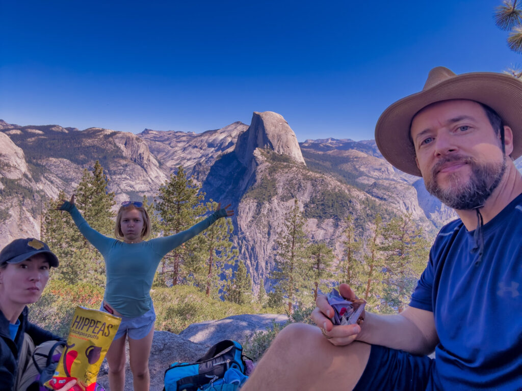
We took a long, well-deserved break on the granite shoulders of the rim to rest our legs, soak in the sun, and crush some well-earned trail snacks. Looking out at the sweeping curve of the valley, with the tiny green specks of pine forests thousands of feet below, you truly realize the immense scale of this glacial canyon. I recommend losing the hiking boots/shoes and socks for a bit to give your feet a much needed breather.
The History of the Geology Hut
While you are at Glacier Point, do NOT miss the Geology Hut. Completed in 1924 and opened to the public in 1925, this humble stone pavilion was the very first “trailside museum” in the entire National Park system. It served as the official prototype for how the National Park Service would handle visitor education and field interpretation across the country.
The hut was designed by legendary NPS architects Herbert Maier and Ansel Hall. It is a textbook example of National Park Service Rustic style. The architects intentionally constructed it out of rough-dressed native granite and peeled log timber beams so it would look like it naturally grew directly out of the cliffside.
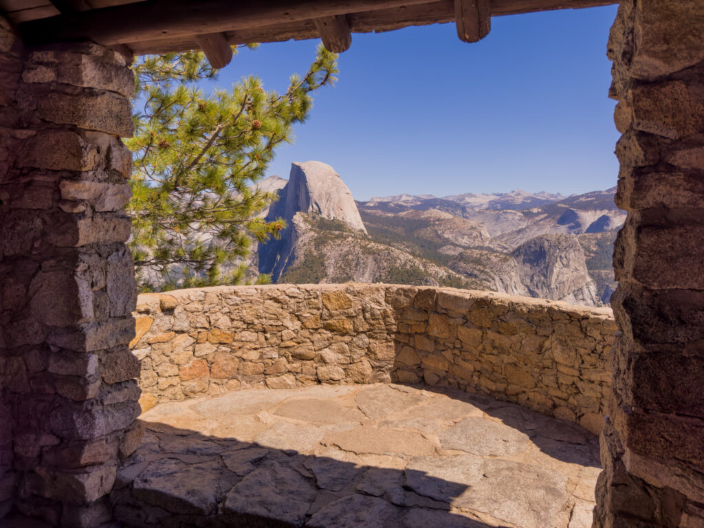
Early park naturalists realized that staring at rocks inside a standard museum down on the valley floor didn’t fully capture the epic scope of the landscape. They built this “sub-station” explicitly at Glacier Point—3,200 feet above the valley—so tourists could read a geological exhibit and immediately look through the massive arched windows to see the real-time proof etched into the face of Half Dome.
Funded by the Yosemite Natural History Association (now the Yosemite Conservancy), it was added to the National Register of Historic Places in 1978. Nearly a century later, it is still standing guard over the canyon, serving as the ultimate frame for high-country explorers.
Descending the Deep Backcountry: The Panorama Trail
With the uphill battle won, we connected to the Panorama Trail to begin our journey back down. While the Four Mile Trail is a tightly packed series of switchbacks, the Panorama Trail lives up to its name by winding across vast, expansive granite ridges.
The trail environment shifts constantly. One minute you are walking along a sheer cliff edge overlooking the canyon, and the next you are diving into deep, quiet forest tunnels where massive fallen pine giants challenge you to a game of trail limbo. We saw a woodpecker, burned trees, a black bear—at least I did the first time I did this hike in 2019—all with a constant view of Half Dome.
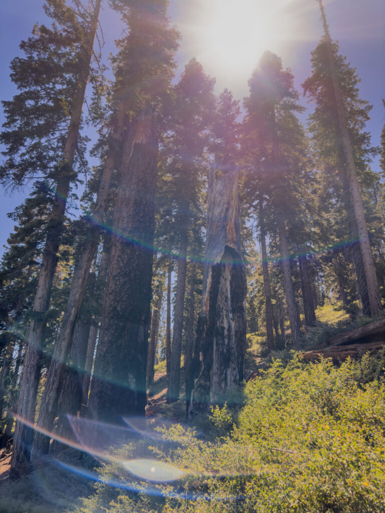
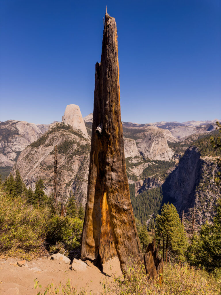
As you wind down toward Illilouette Creek, the crowds completely evaporate. You are deep in the wilderness, surrounded by shimmering granite waves and the distant, echoing boom of hidden waterfalls.
The Oasis: Illilouette Creek and the Hidden Bridge
Dropping down from the dizzying heights of Glacier Point, the Panorama Trail plunges you into a completely different ecosystem. The sweeping, exposed mountain edges give way to a pristine, forested canyon. After a few miles of continuous descent that tests your braking muscles, the sound of rushing water begins to echo through the trees.
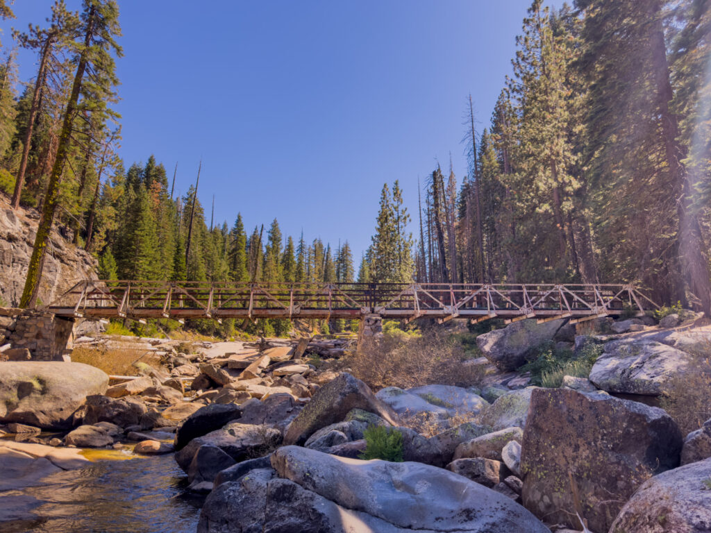
Suddenly, you hit the bottom of the basin and come face-to-face with an absolute backcountry masterpiece: the Illilouette Creek Bridge.
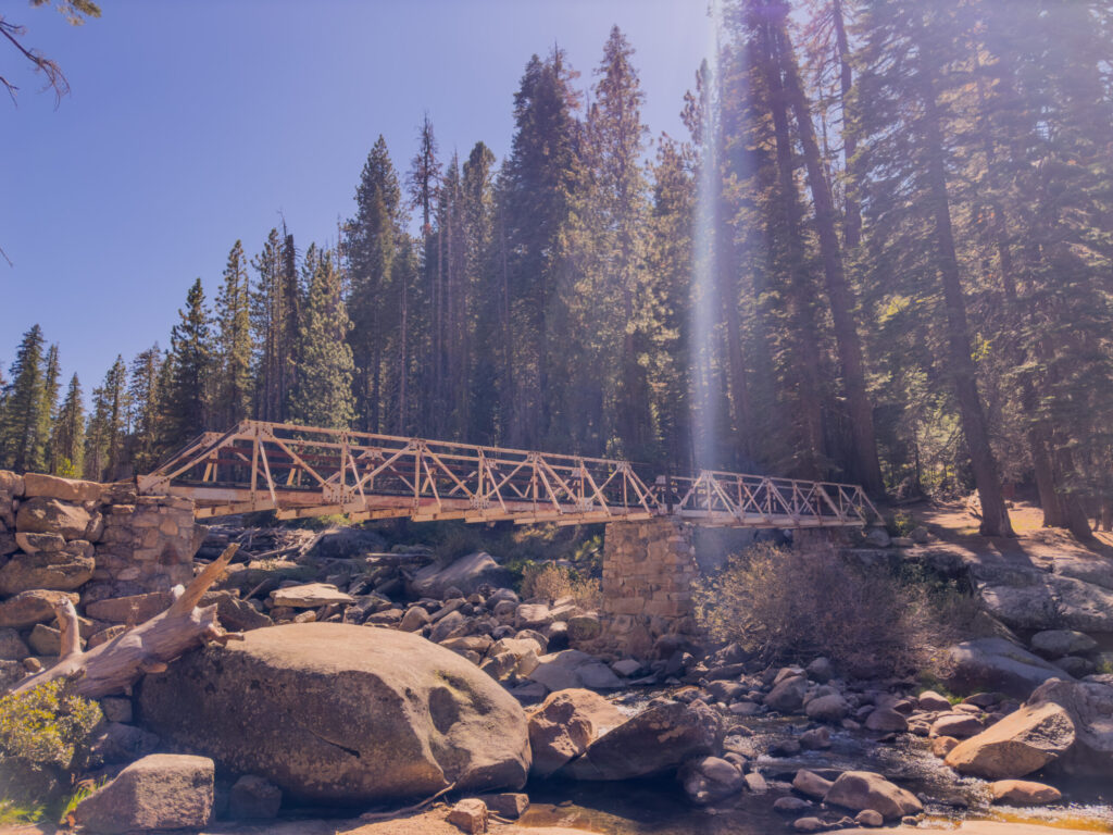
This weathered steel-and-granite truss bridge spans across a rugged, boulder-strewn creek bed. Standing on the wooden planks as the morning sun breaks over the ridge, sending sharp, dramatic beams of light piercing straight through the pines, it feels like you’ve discovered a secret highway into the heart of the park.
Just past the bridge, the trail spills out onto a massive, flat granite shelf that borders the water.
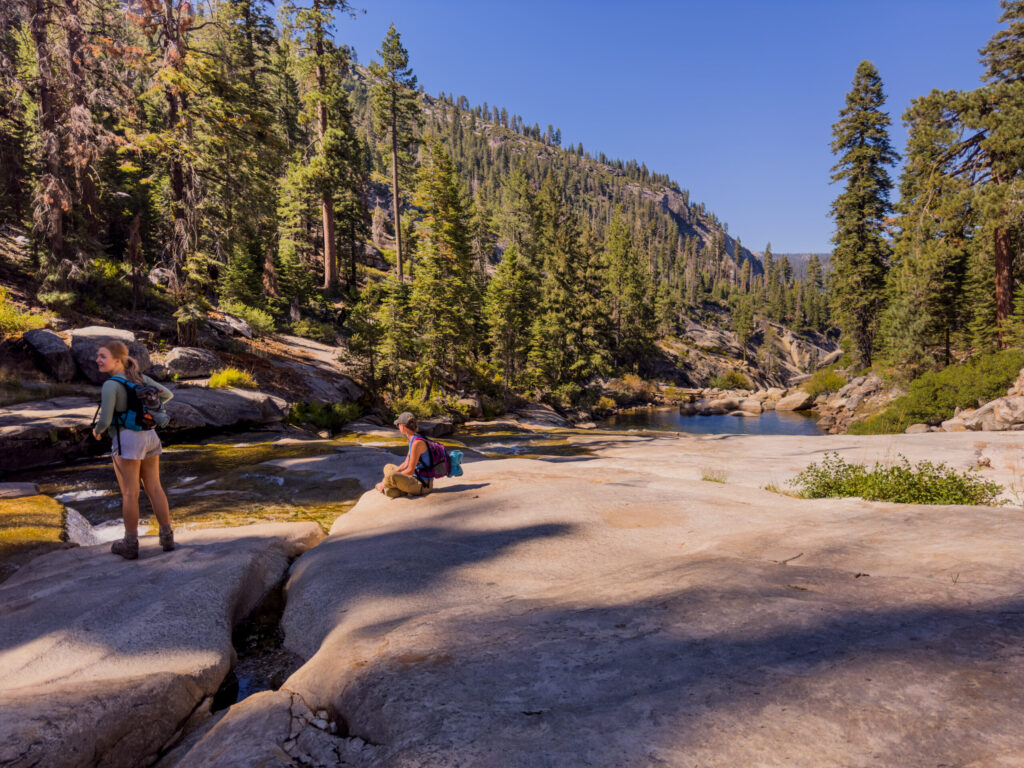
This is the ultimate staging ground. The water here runs cold, crystal-clear, and incredibly fast as it races toward the edge of the canyon just downstream to plunge over the hidden Illilouette Fall.
We dropped our packs on the sun-warmed stone slabs, unlaced our boots, and soaked in the sheer peace of the canyon floor. It is the perfect place to filter fresh water, splash your face, and mentally prepare your legs. Because the second you cross this creek, your gentle downhill cruise is officially over—the trail pivots straight up the canyon wall toward the secret paths of Panorama Point.
The Secret Overlook: Panorama Point
Once you leave the sun-warmed granite of Illilouette Creek, the trail wastes no time reminding you that it’s a mountain trek. You immediately kick into a steady, challenging uphill climb through a tight set of switchbacks bordered by thick manzanita brush.
About a half-mile past the bridge, just as the trail begins to level out, keep your eyes peeled on the left-hand side. There is no signpost, no stone marker, and no official warning—just a faint, narrow dirt path veering off into the brush.
If you don’t know it’s there, you will cruise right past it like 95% of the hikers on this loop. I missed it the first time I hiked the Grand Tour Trail in 2019. But if you take that path less traveled, you will stumble upon the park’s most famously bypassed secret: Panorama Point.
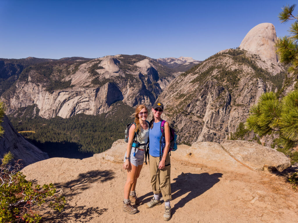
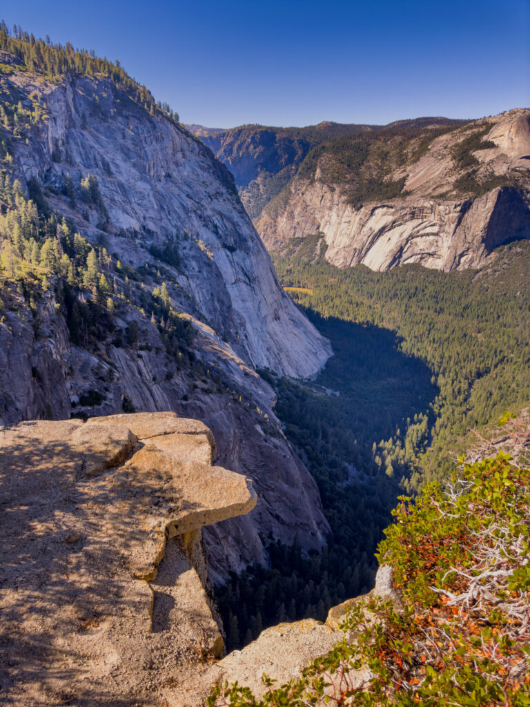
Standing on this isolated granite ledge feels like standing on a private balcony suspended over the abyss. The view from this specific outcropping is absolutely wild—it gives you a completely sheer-drop, unobstructed look deep into the throat of Tenaya Canyon, framing the massive profile of Half Dome on your right and the sweeping curves of North Dome directly across the canyon.
What makes this spot even cooler is its ghost-town history. Up until the late 1970s, this was actually an official, fully mapped park destination complete with safety guardrails and interpretive signs.
The 1977 Rockfall: A massive geological shift triggered a violent rockfall right here, fracturing the cliffside and shearing the entire outer edge of the overlook into the canyon below, leaving the metal guardrails dangling in mid-air.
Instead of trying to anchor heavy infrastructure back onto an unstable cliff edge, the National Park Service eventually pulled down the dangling rails, removed the signs, and let the wilderness reclaim the trail. If you look closely at the rock near your boots, you can still find the old anchor holes drilled into the granite where the old railings used to sit.
Because still photos compress the distance, I’ll spoil it for you. That is a long, long, long way down—about 2,200 feet with no railing.
Missing it on my first trek tore at me, but standing out there with the girls on this trip, looking down into a canyon completely undisturbed by crowds, made the second time around sweet perfection. It is the absolute quintessential stop on the Grand Tour.
The White-Water Gateway: Top of Nevada Fall
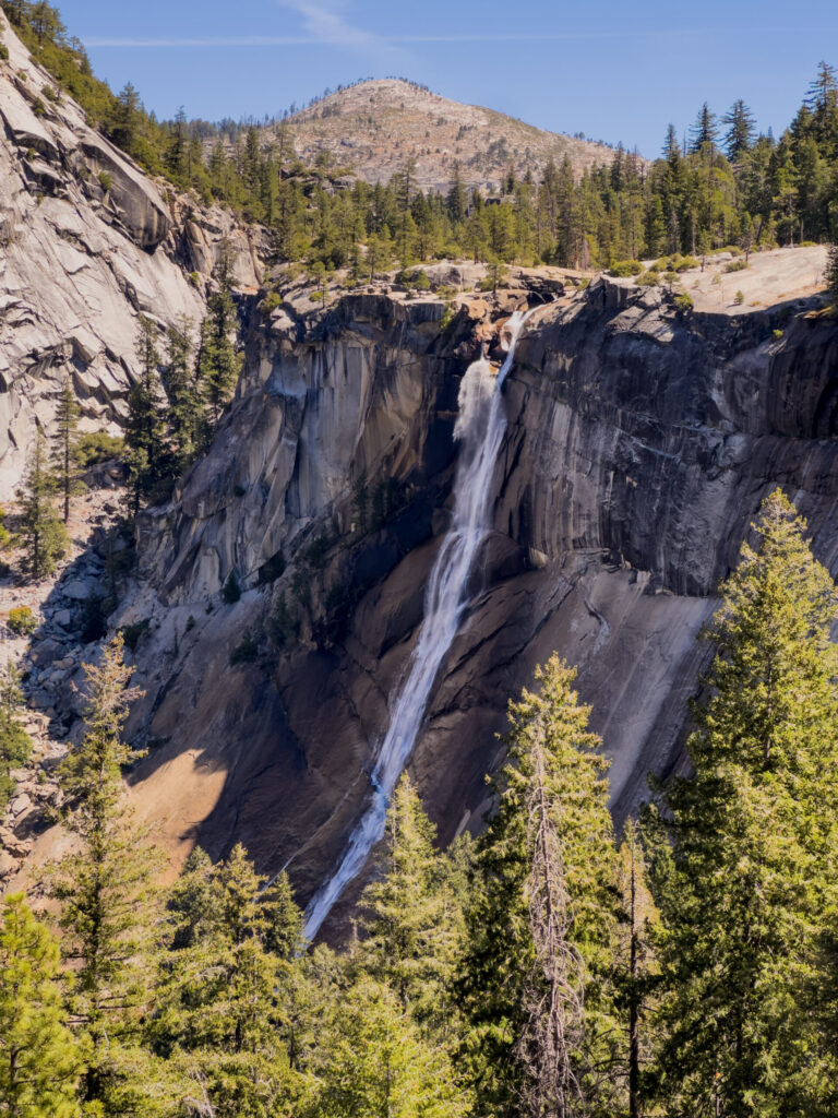
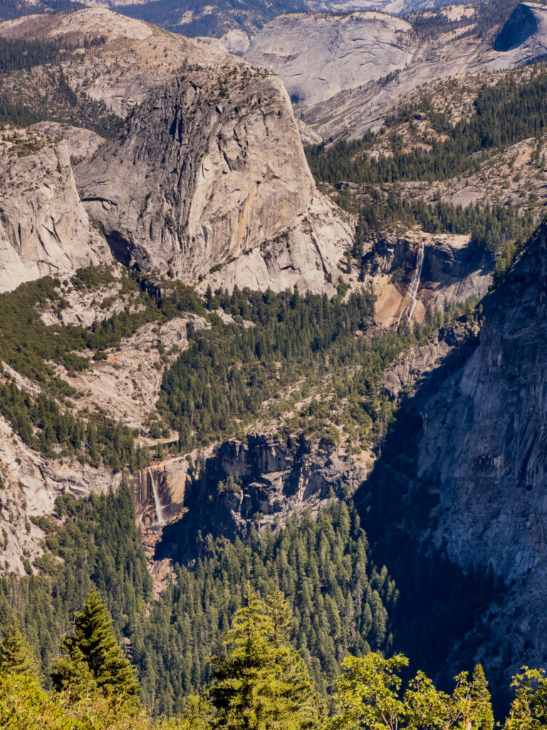
After crossing the wilderness valleys, the trail hooks up with the top of the giant Nevada Fall. This is where the quiet backcountry energy collides directly with thousands of gallons of rushing white water.
By this point in the loop, your feet are throbbing, your shoulders are tight, and a granite slab under a shaded footbridge looks like a five-star mattress.
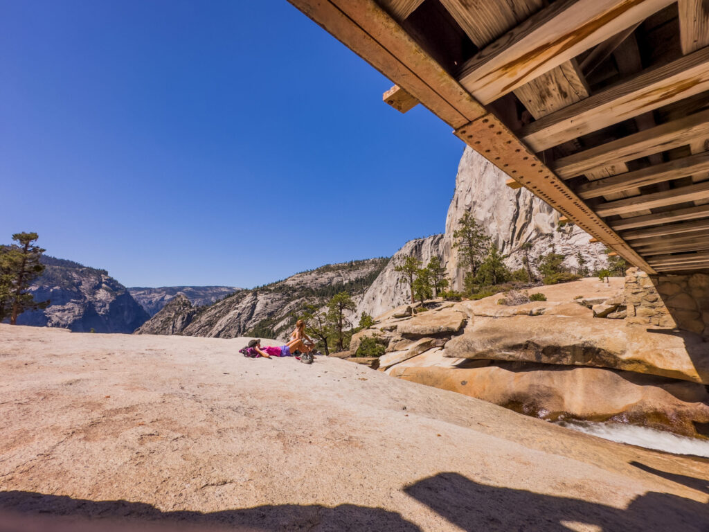
The sheer power of the water at the pool’s lip is mesmerizing. Standing near the safety railings watching the Merced River violently launch itself over a 594-foot precipice is a heart-pounding reminder of the forces that carved this entire valley.
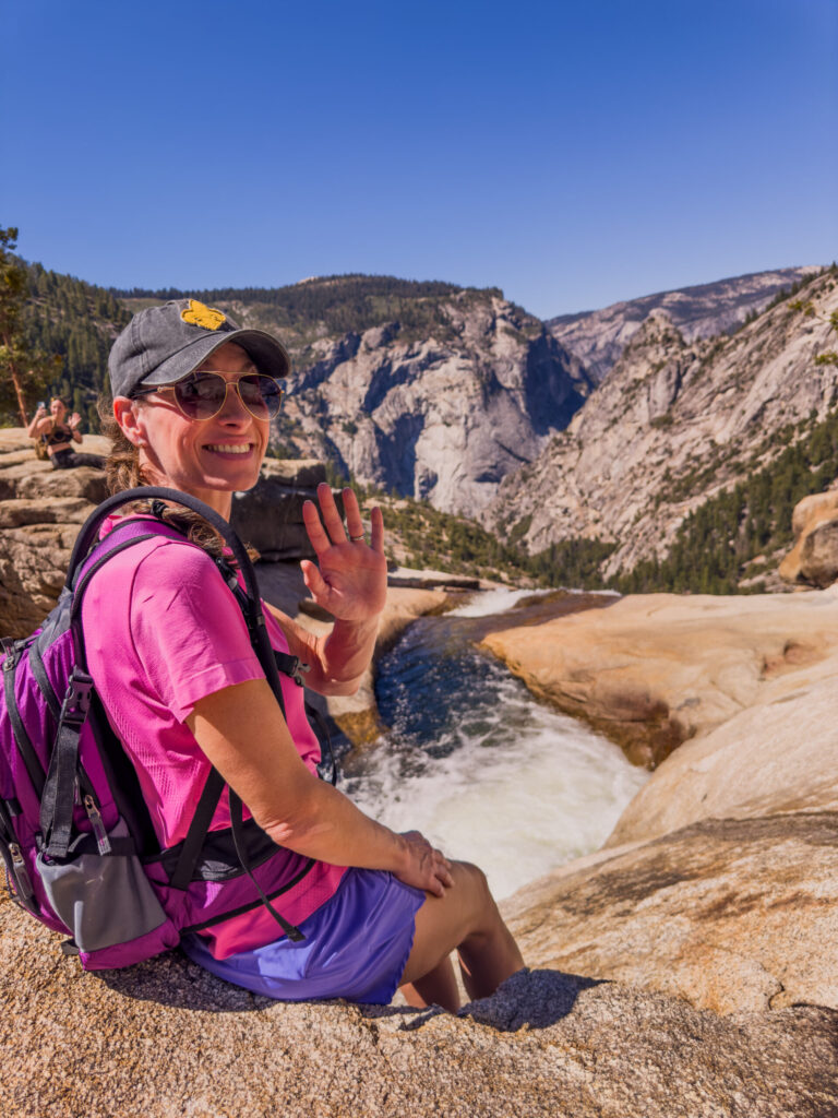
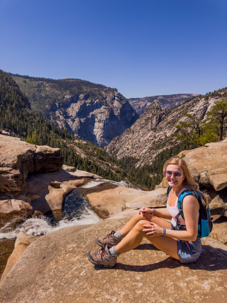
Hang here for a while. The view is worth it.
The Misty Finish: Descending the Mist Trail
The final leg of the Grand Tour takes you down the steep, wet stone staircase of the Mist Trail, passing right along the roaring spray zones of Nevada and Vernal Falls.
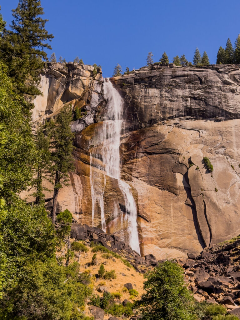
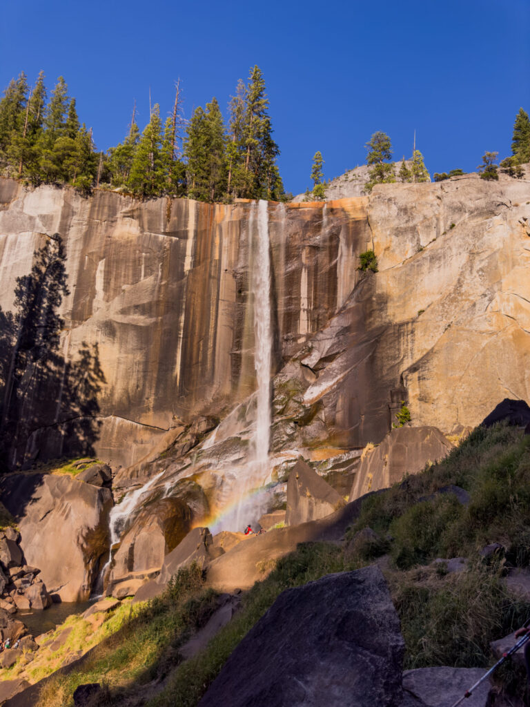
The cool, heavy spray off the rock walls acts like a natural air conditioner, completely soaking your clothes but offering a glorious refreshment after hours under the exposed mountain sun.
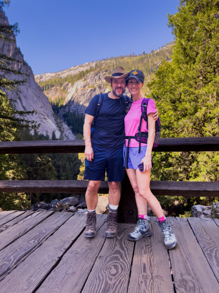
When our boots finally clicked onto the wooden planks of the footbridge at the valley floor, we were completely spent, covered in trail dust, and soaked in waterfall mist. Looking back up at the massive granite rim towering above us, it felt surreal to think that just a few hours prior, we were standing on the very top of those stone walls looking down.
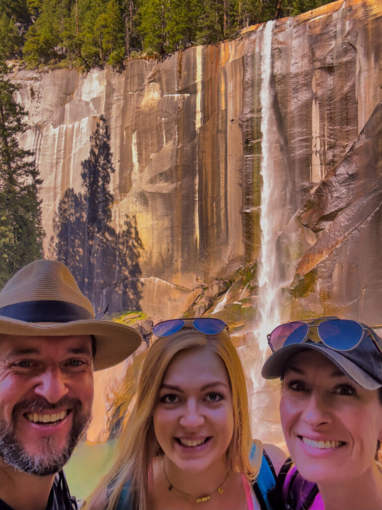
There is no better way to close out a Yosemite journey than the Grand Tour. It demands everything your legs can give, but it returns a lifetime of memories in exchange.
What is to Come
As a reminder, this is one blog post in a thirteen part blog series on this journey. Here is the outline with links to the other blogs.
- The Greatest Trip in the World
- Hang Off the Cable Car: San Francisco
- Go to Prison with Us: Alcatraz
- The View: Muir Woods
- Focal Point: California Academy of Sciences
- Behind the Lens: San Francisco Zoo
- ROAD TRIP!!! to Yosemite
- Peachy: Ramos Country Corner
- Earthy: Mountain Sage Coffee
- Yosemite Overview: Basecamp Logistics, Resources, and Iconic Sights
- Triumphant: Half Dome Hike
- Wandering in Yosemite: A River, Wildlife, and the Night Sky
- Sweeping: Grand Tour Hike (Four Mile Trail -> Panorama Trail) (this blog)
More images below. These images can be seen in more detail in my Gallery.