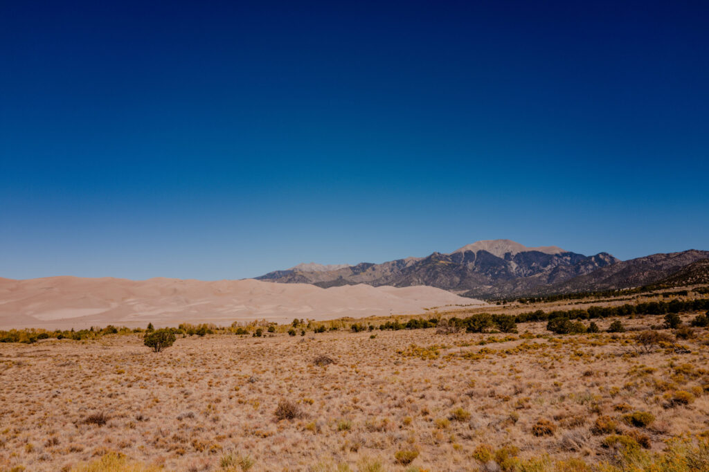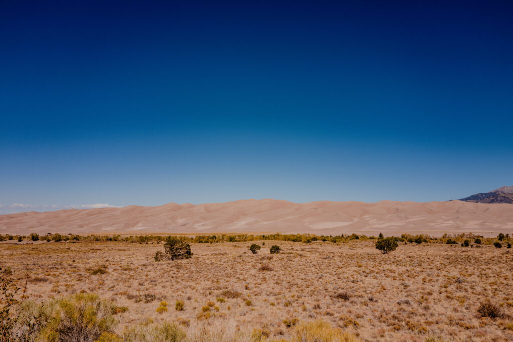
We took a road trip to Colorado and after staying at the historic and haunted St. James Hotel in Cimarron, New Mexico, Great Sand Dunes National Park & Preserve was our first stop in Colorado.
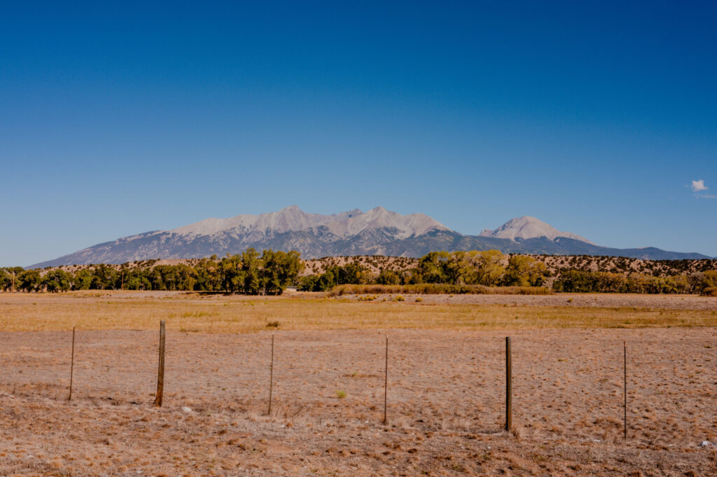
High Plains Fence Line & Blanca Peak — San Luis Valley, Colorado (2026)
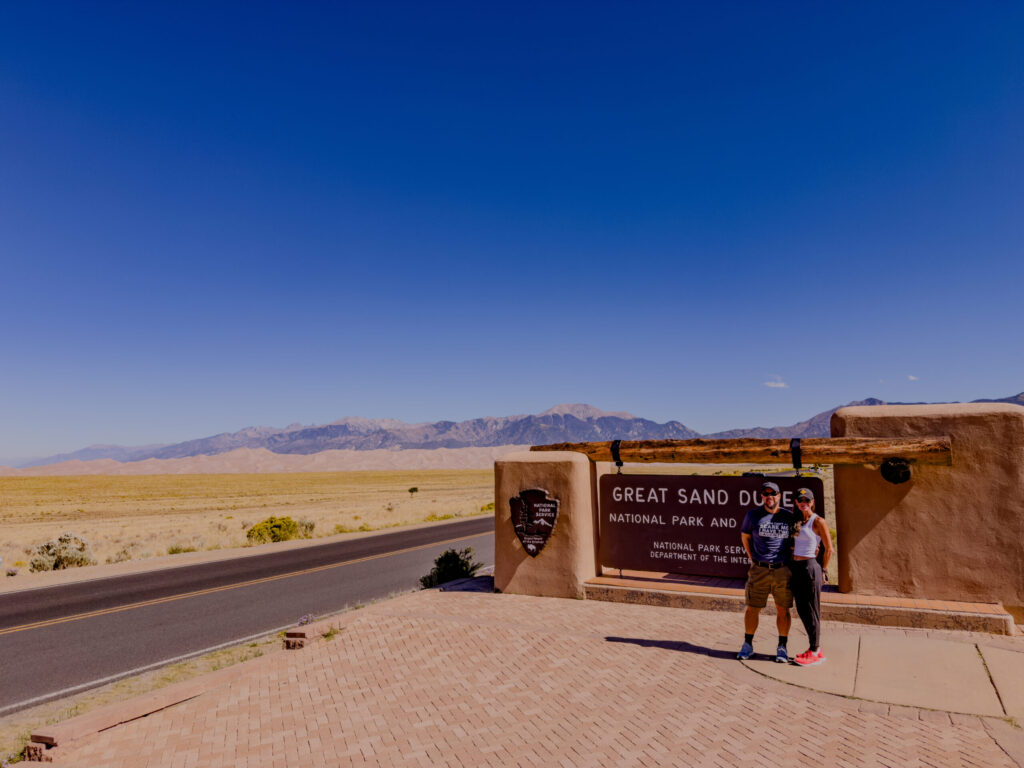
Lance & Carrie at Great Sand Dunes Entrance Sign — Great Sand Dunes National Park, Colorado (2026)

Great Sand Dunes National Park & Preserve

Geological Mechanics: The dune field covers over 30 square miles, with dunes reaching up to 750 feet (the tallest in North America). Formed within a closed basin (the San Luis Valley), sediment from the eroding San Juan and Sangre de Cristo ranges settled on ancient lake beds. As these lakes dried, southwest winds blew the exposed sand toward the Sangre de Cristo Mountains. The mountains act as a natural barrier, trapping the sand, while seasonal creeks (like Medano Creek) carry it back down the basin in an endless recycle loop.
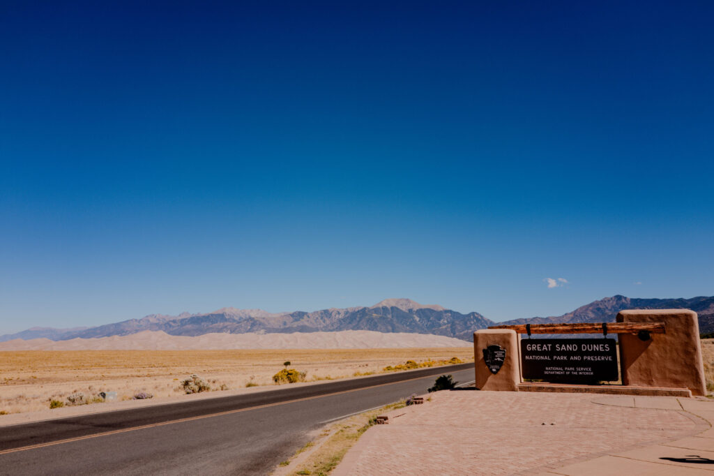
Great Sand Dunes Entrance Sign & Highway Approach — Great Sand Dunes National Park, Colorado (2026)
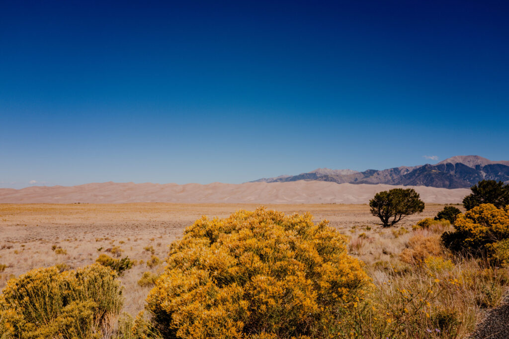
Yellow Rabbitbrush & Distant Dunefield — Great Sand Dunes National Park, Colorado (2026)

Indigenous History: Human presence dates back approximately 11,000 years to Clovis and Folsom hunter-gatherers. Historically, the region was traversed by the Southern Ute, Jicarilla Apache, and Navajo. The Utes referred to the dunes as Saa waap maa nache (“sand that moves”), while the Jicarilla Apache called them Sei-anyedi (“it goes up and down”). Nearby Blanca Peak (Sisnaajini) serves as one of the four sacred boundary mountains of the Navajo Nation.
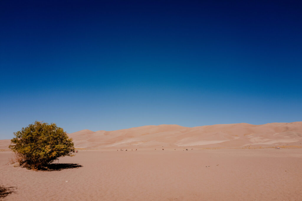
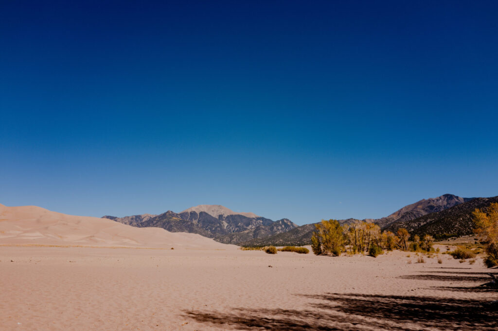
Great Sand Dunes Flat & Solitary Shrub — Great Sand Dunes National Park, Colorado (2026)
Medano Creek Sand Flats & Dune Base Groves — Great Sand Dunes National Park, Colorado (2026)

European & American Exploration: Spanish Governor Don Diego de Vargas crossed into the San Luis Valley in 1694. Lieutenant Zebulon Pike documented the dunes in 1807 during his western expedition, writing in his journals that their appearance was “exactly that of the sea in a storm”. The site was established as a National Monument by President Herbert Hoover in 1932 and elevated to a National Park and Preserve in 2004.
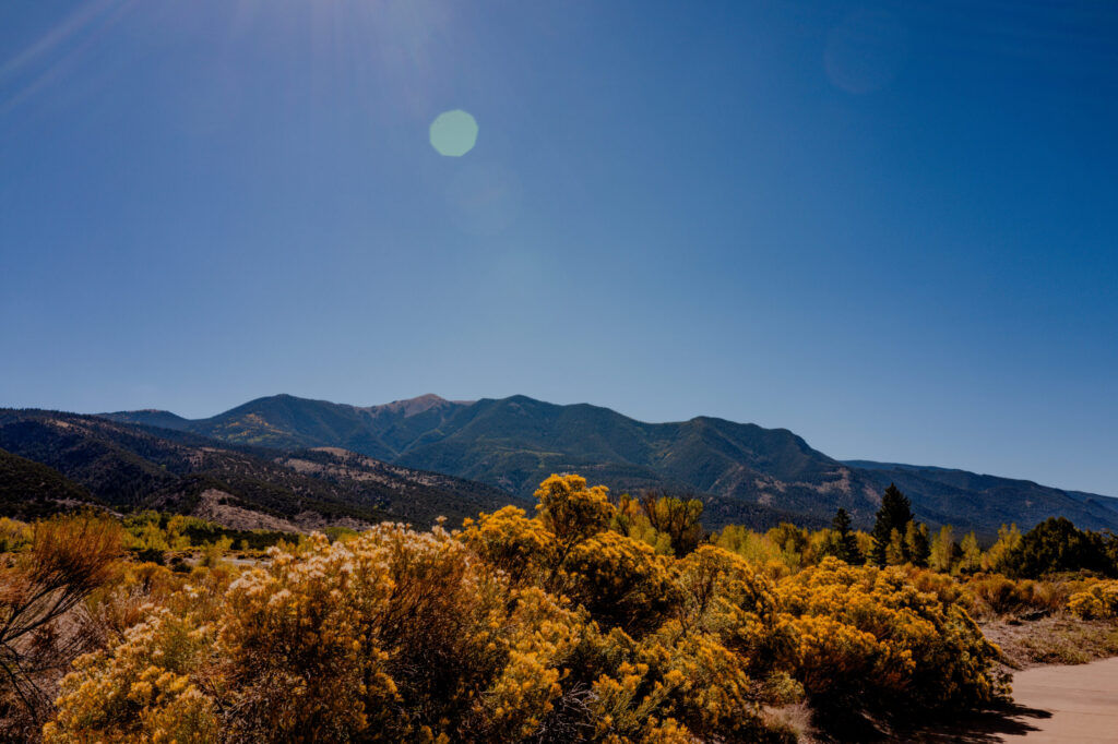
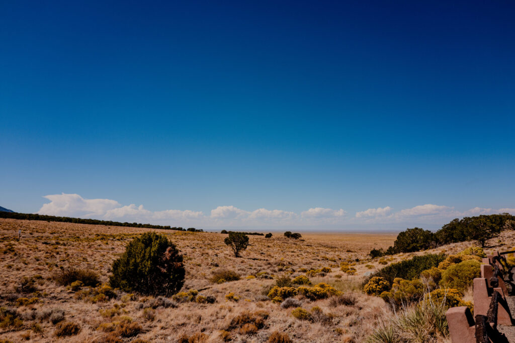
Golden High-Desert Scrub & Sangre de Cristo Foothills — Great Sand Dunes National Park, Colorado (2026)
San Luis Valley Overlook & High Plains Horizon — Great Sand Dunes National Park, Colorado (2026)
Main Dunefield Panorama & Sangre de Cristo Range — Great Sand Dunes National Park, Colorado (2026)
Great Sand Dunes Sweep & High Desert Basin — Great Sand Dunes National Park, Colorado (2026)

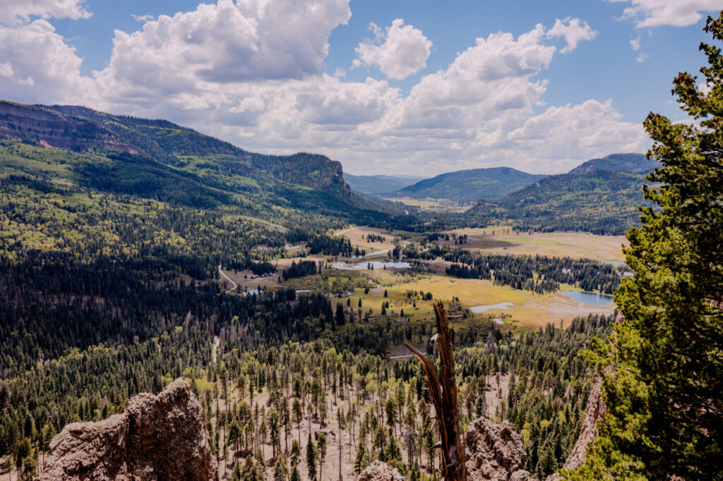
After a few hours, we hit the road again. We stopped at the West Fork San Juan River Valley Overlook. It is easy to miss coming down a series of switchbacks but it is well worth pulling over for the view below.
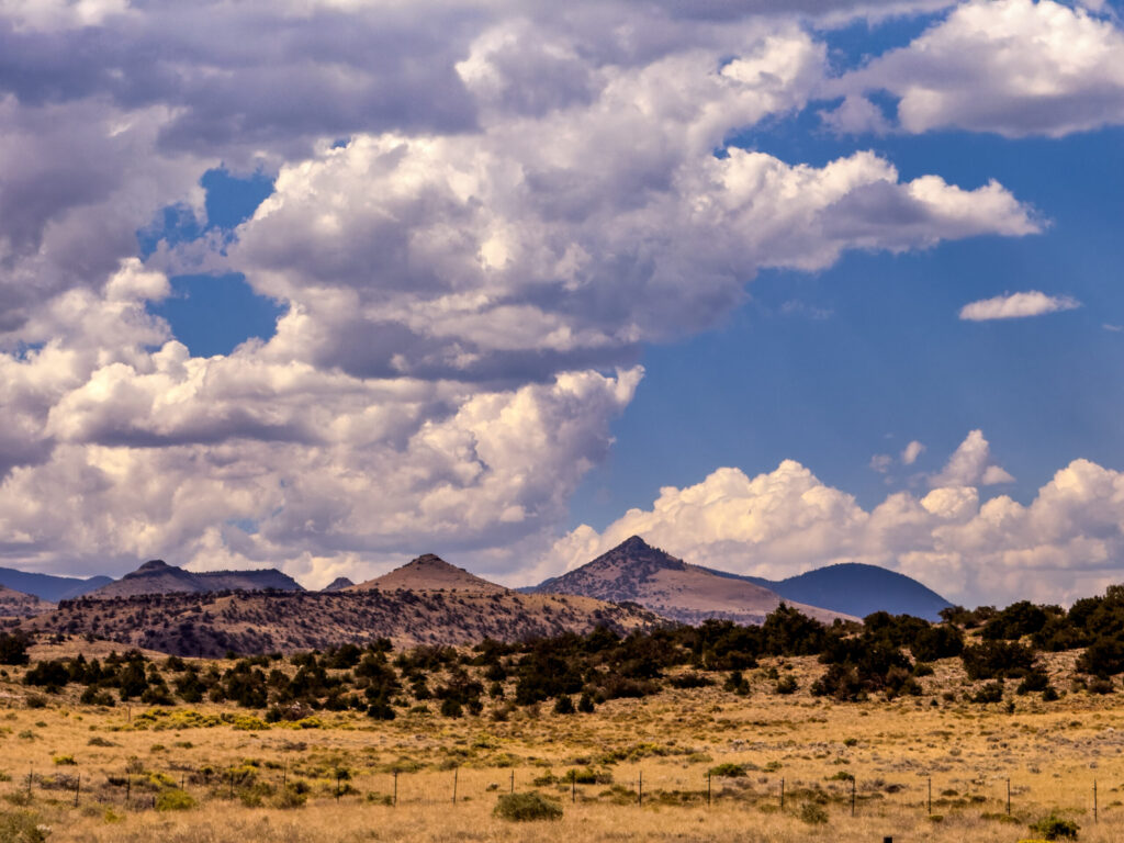
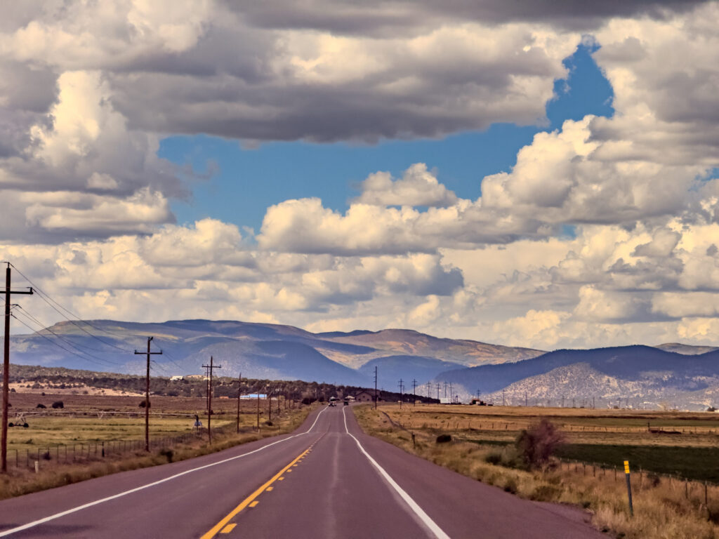
High Plains Volcanic Ridges & Cumulus Sky — Del Norte, Colorado (2026)
US-160 Westbound Approach & San Juan Horizon — San Luis Valley, Colorado (2026)
West Fork San Juan River Valley Overlook — Wolf Creek Pass, Colorado (2026)

Treasure Falls (Wolf Creek Pass / Pagosa Springs)
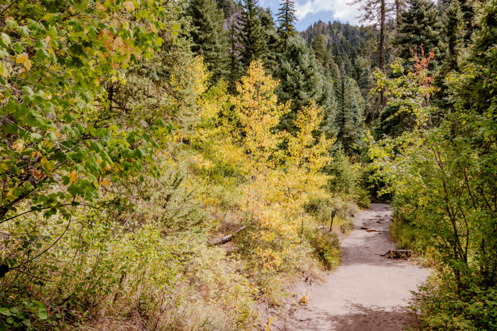
Golden Aspen Trail & Evergreen Canopy — Pagosa Springs, Colorado (2026)

Folklore & Origin: Plunging 105 feet down a sheer volcanic cliff face in the San Juan National Forest along US-160, Treasure Falls drops off the side of Treasure Mountain.
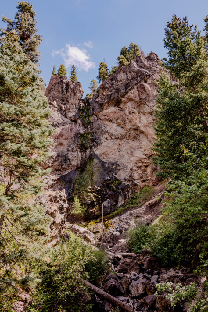
Treasure Falls 105-Foot Volcanic Cliff Cascade — Pagosa Springs, Colorado (2026)
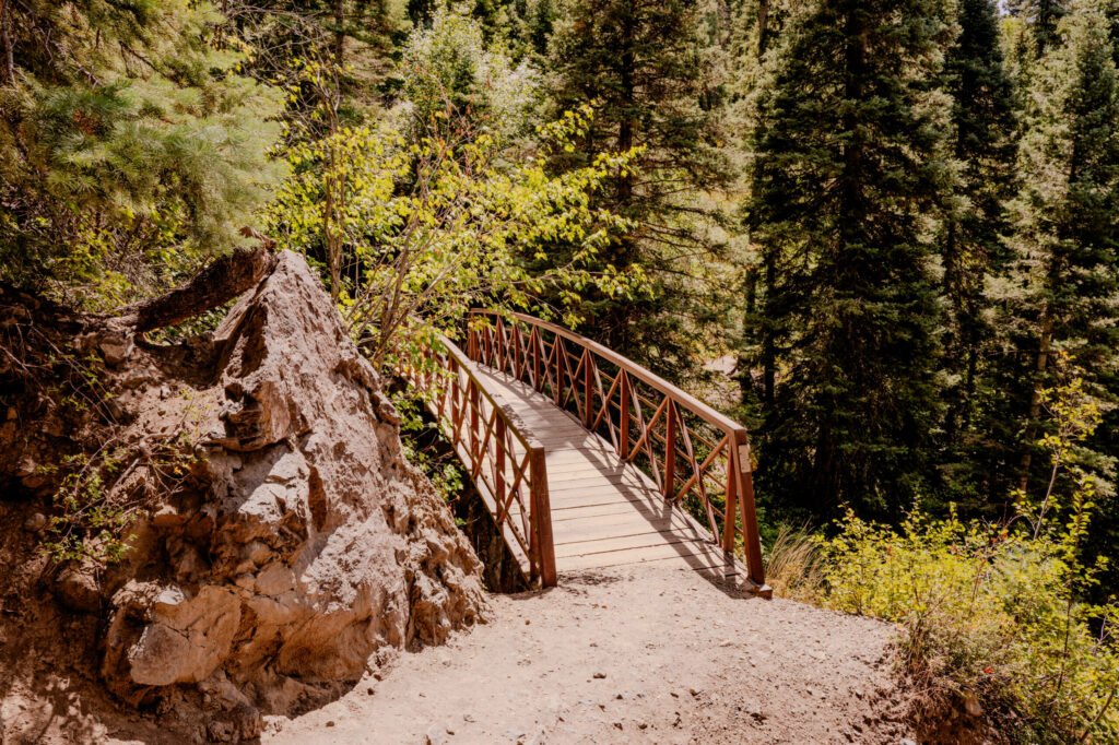
Treasure Falls Wooden Footbridge — Pagosa Springs, Colorado (2026)

The Legend of the French Gold: According to local lore, a expedition of roughly 300 French miners secretly entered the San Juan Mountains in the late 1700s and extracted a vast fortune in gold. Under attack from local tribes or Spanish soldiers, the surviving miners buried a chest containing over $5 million in gold somewhere on Treasure Mountain near the falls before fleeing or being captured. Though numerous expeditions attempted to locate the cache in the 19th and 20th centuries, the gold was never found.
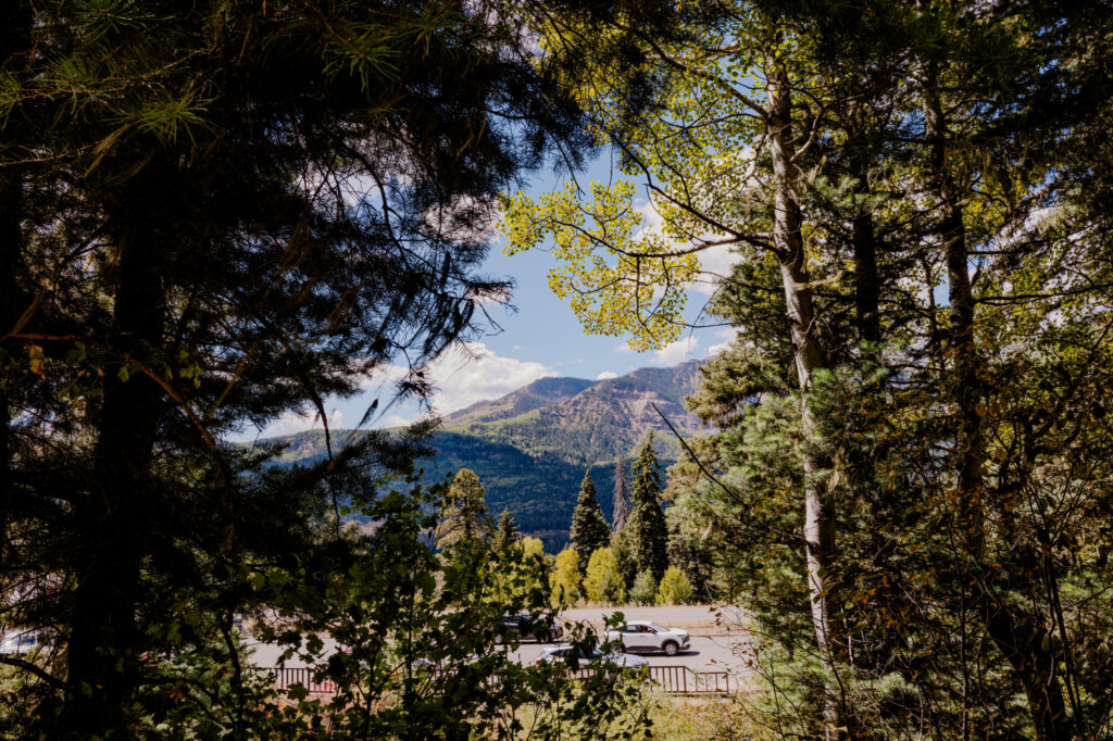
San Juan Valley View through Pine & Aspen Canopy — Pagosa Springs, Colorado (2026)

So it must still be out there somewhere. Feel free to search on your own. 😉

As always, full resolution versions of these images may be seen on my website at this link: https://photos.bluecouchstudios.com/Travel/Colorado-2026/03-Great-Sand-Dunes-and-Treasure-Falls.

The next blog post will be on the historic Beaumont Hotel in Ouray. If you think the outside is gorgeous, wait until you see the inside.
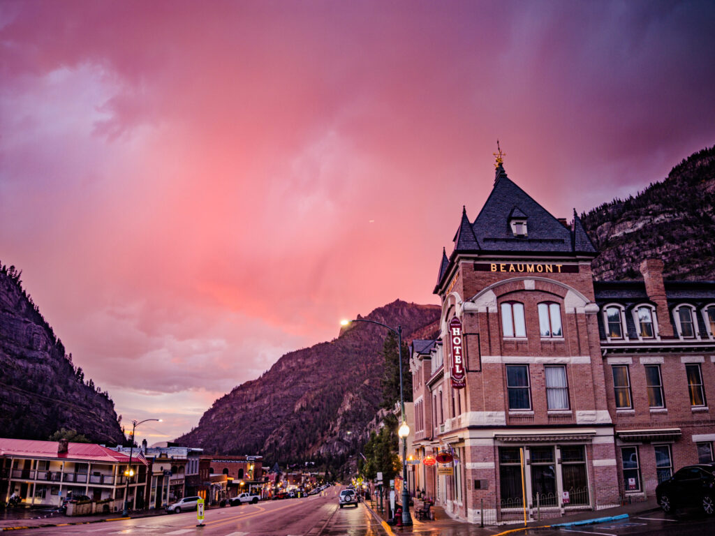
Historic Beaumont Hotel & Crimson Twilight Sky — Ouray, Colorado (2026)

Until then, see you next time,


Leave a Reply

Your email address will not be published. Required fields are marked *