
First, if you came here looking for my Top 20 photos, click on this link. This first blog is about the road trip and I promise all of those will be included in the blog series. Some are below. More to come.
The Case for the Highway: 35,000 Feet vs. Ground Level
Sure, a flight is convenient. But as many of you know – maybe not the young people just yet – convenience can often be costly. The sky is beautiful from the air, and I am a big fan of flying, but some spaces deserve to be wandered.
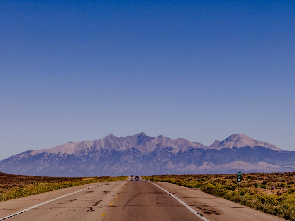
Ever seen where the open plains meet the mountains?
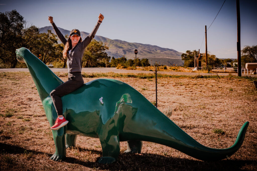
Have you ever ridden a gas station dinosaur?
Or seen a highway disappear into the skyline?
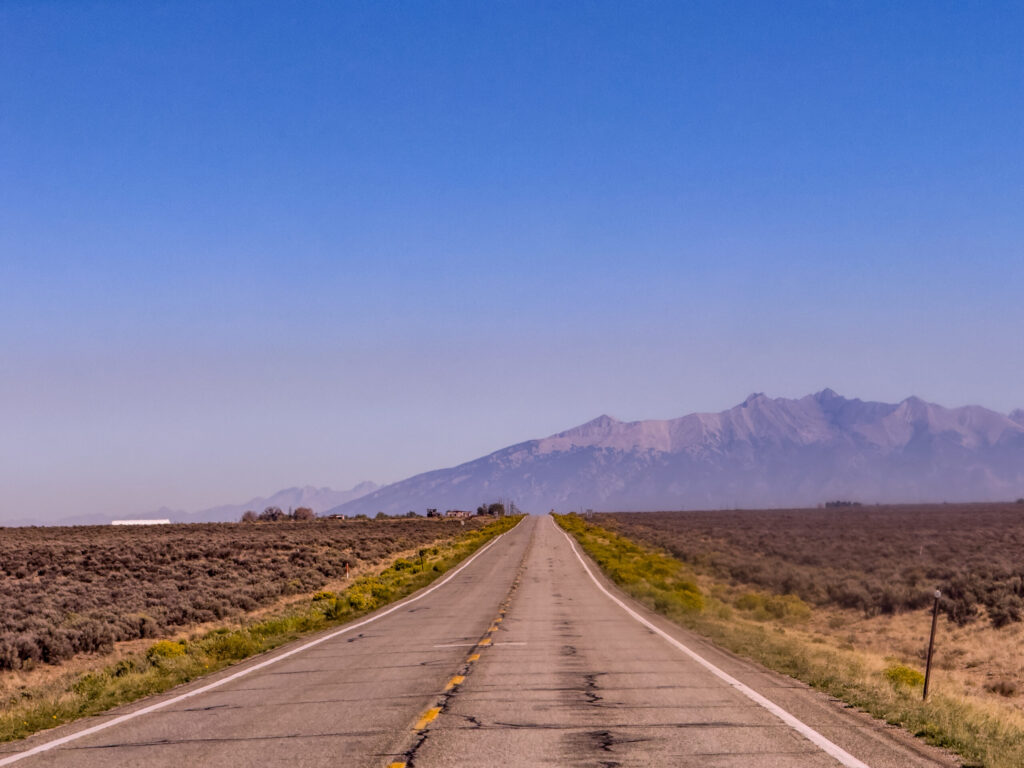
If not, you are definitely missing out. There is a distict feeling you get as the city disappears, the open road stretches out, and the scenery begins to open up. Just like when you disappear into a great book, you begin to notice the world we live in is a wild and beautiful place. And sometimes those liminal spaces can be the most beautiful. This is a blog dedicted to those spaces.
Our Journey: The 2,700 Mile Rundown
Before I launch into the specific sites, let’s talk about our path for this road trip. I’m including an embedded map as well as an image for your convenience.
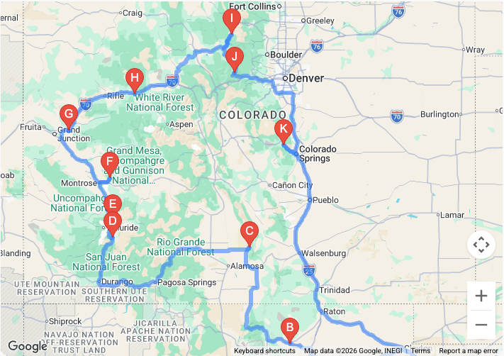
Let’s examine the scenery as we pass from location to location.
1. The High Plains Approach (New Mexico)
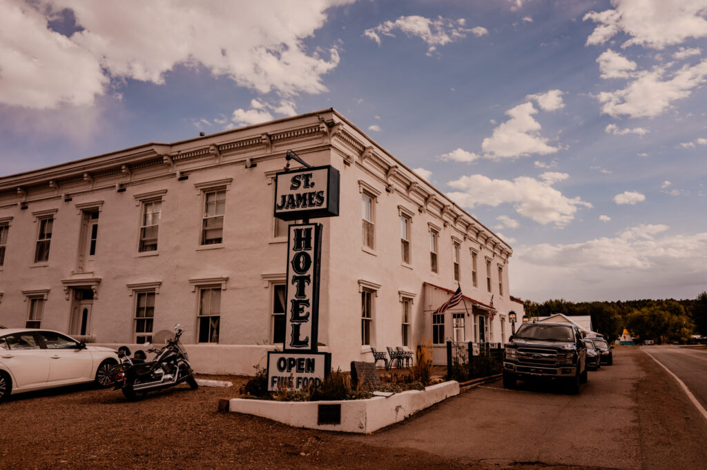
Our trip began by leaving the Texas heat behind and pushing northwest onto the high plains of New Mexico. We rolled past the extinct shield volcano of Sierra Grande on US-87 and made our way to Cimarron, settling into the haunted history of the St. James Hotel for our first night on the road. More on St. James Hotel in the following blog. It is a gem—a haunted gem—but a gem.
2. The Enchanted Circle & San Luis Valley (Great Sand Dunes)
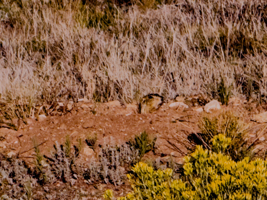
Upon exiting Cimarron, we began our journey towards Great Sand Dunes National Park. We took the backroads, of course, passing by Eagle Nest Lake in New Mexico and catching a few glimpses of groundhogs along the highway.
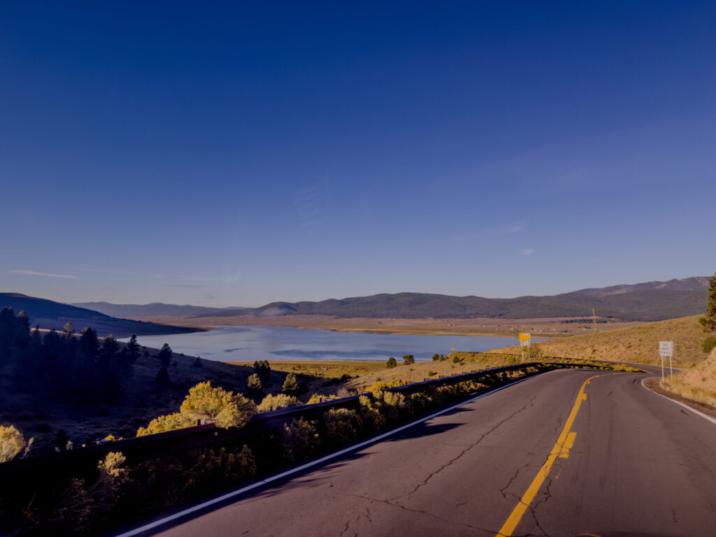
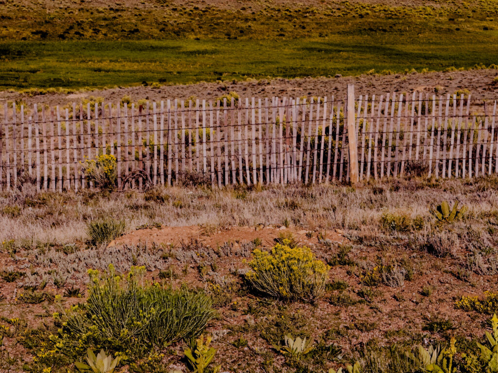
We crossed the High-Plains to Sierra Grande. Then we climbed into the mountains along the Enchanted Circle. Here is a perspective—coming to going.
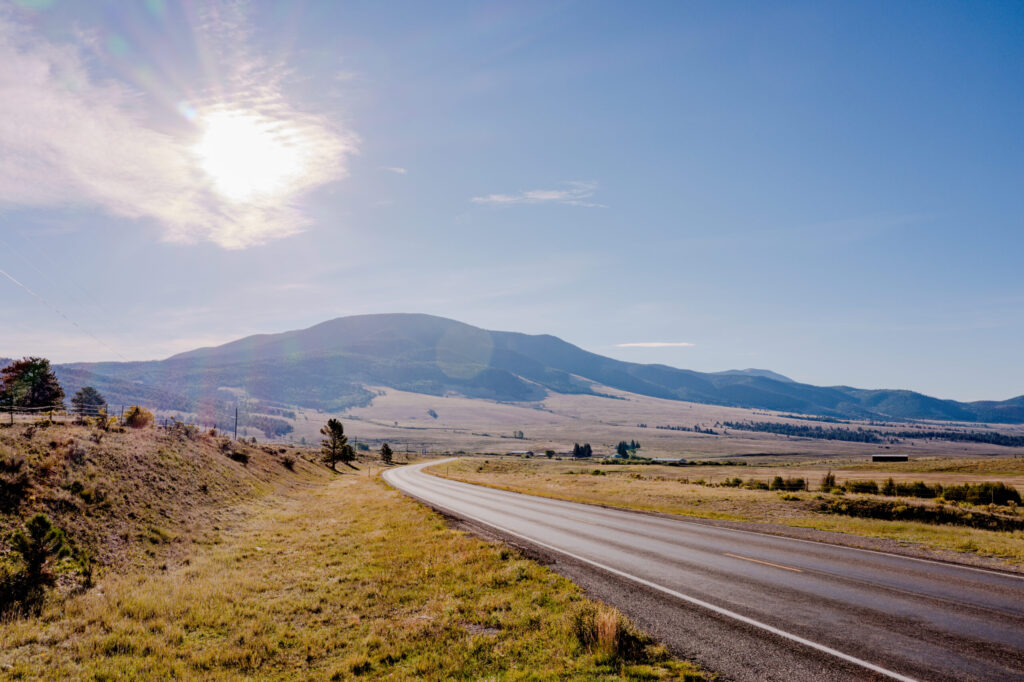
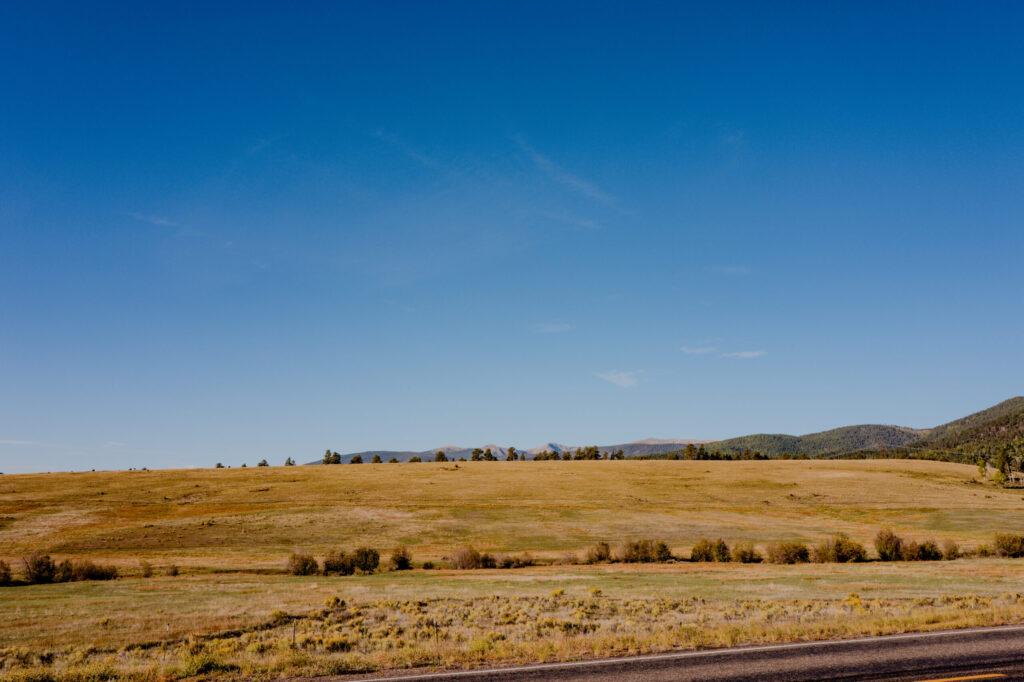
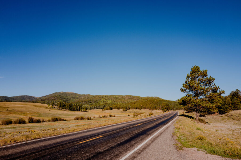
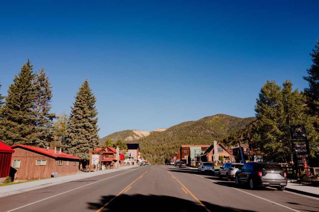
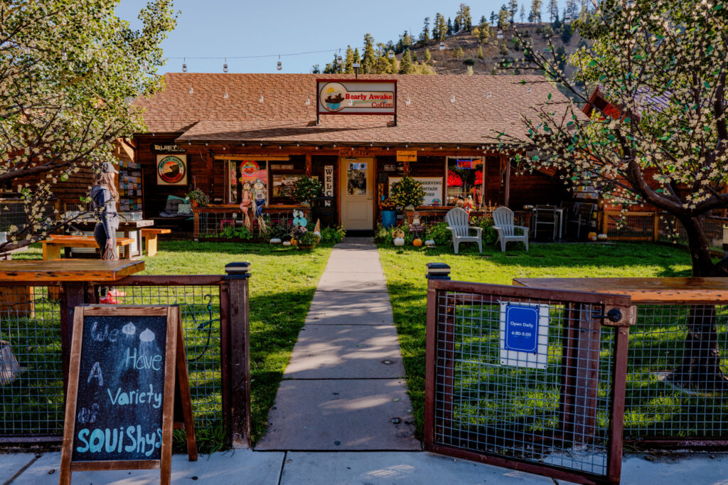
Then dropped into Red River, New Mexico and grabbed a morning coffee at Bearly Awake. Red River looked like an interesting town and Bearly Awake was a fun little find. Wish we had more time here.
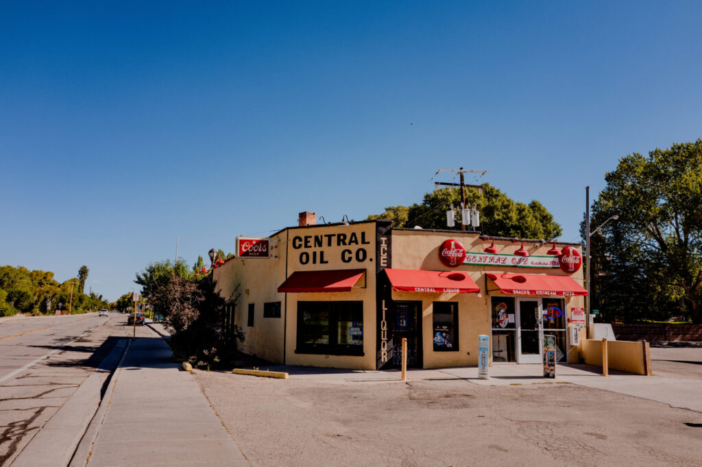
From there, we crossed the state line into San Luis—Colorado’s oldest town—and made a quick stop at the old Central Oil Co. store.
Then we traversed the massive expanse of the San Luis Valley, culminating in the otherworldly scale of Great Sand Dunes National Park backed by the Sangre de Cristo Mountains. Again, more on Great Sand Dunes in a future post.
3. The Western Slope (Wolf Creek to the San Juans)
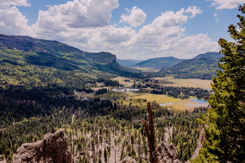
Climbing over Wolf Creek Pass gave us sprawling views of the West Fork San Juan River Valley before we dropped down into the rugged high country of Southwestern Colorado. You can see the road in this next photo just as it runs along the base of the mountain. We stopped in the area for a quick hike at Treasure Falls, which I’ll talk about with Great Sand Dunes in a future blog.
4. The Million Dollar Highway (US-550)
The heart of our trip—and by heart, I mean it may never recover—was the treck across the Million Dollar Highway from Durango to Ouray. When people describe Trail Ridge Road in Rocky Mountain National Park as a “white knuckler”, this is worse. Unless you like skirting 1,000-foot drops next to oncoming traffic with no guardrails and little shoulder, this one will make your heart race for sure.
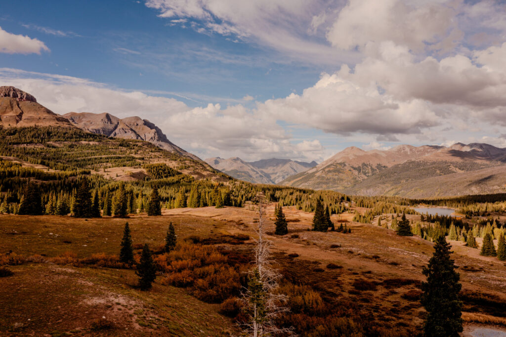
But there are glorious sites to behold along the way, like the Molas Pass Overlook. Goodness, it was gorgeous.
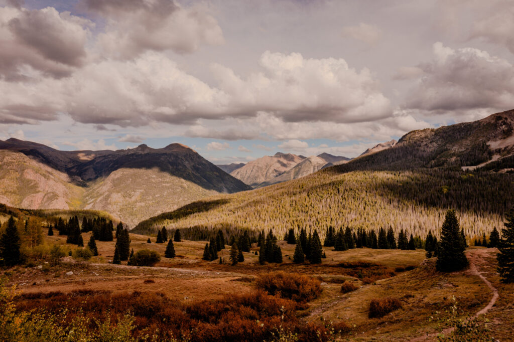
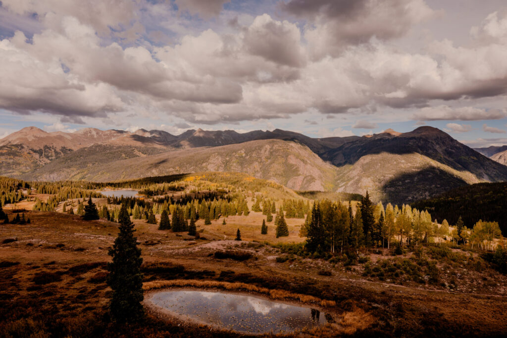
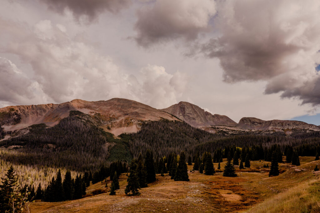
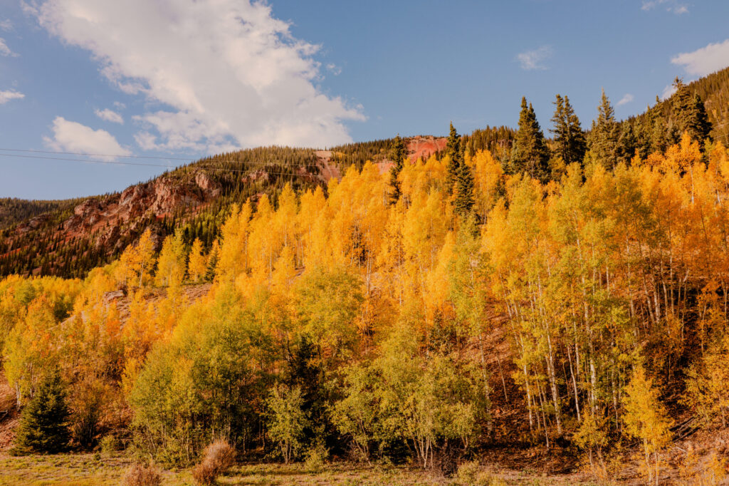
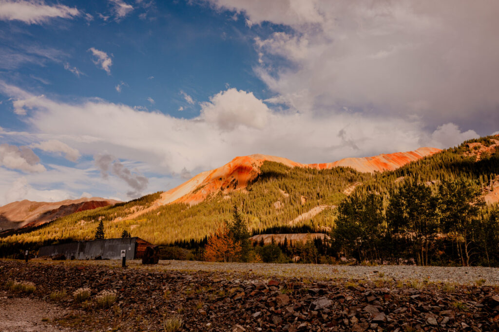
We made the treacherous, stunning drive through Silverton, skirting the red, mineralized slopes of Anvil Mountain and the Red Mountain Mining District. We crested Red Mountain Pass before descending into Ouray for a stay at the historic Beaumont Hotel (more on that one later).
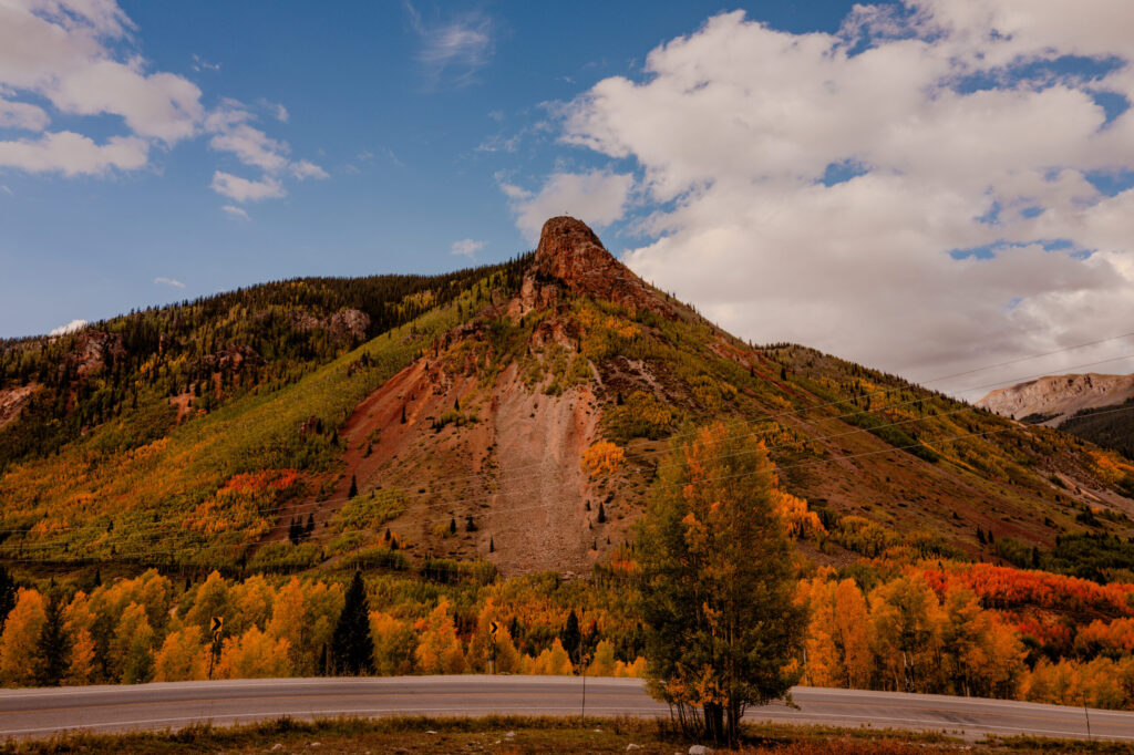
5. The Canyons & Valleys (Black Canyon to Palisade)
From Ouray, we headed north out of the mountains to stand on the vertigo-inducing rim of the Black Canyon of the Gunnison (more later). Black Canyon was stunning on its own but the drive out is also beautiful.
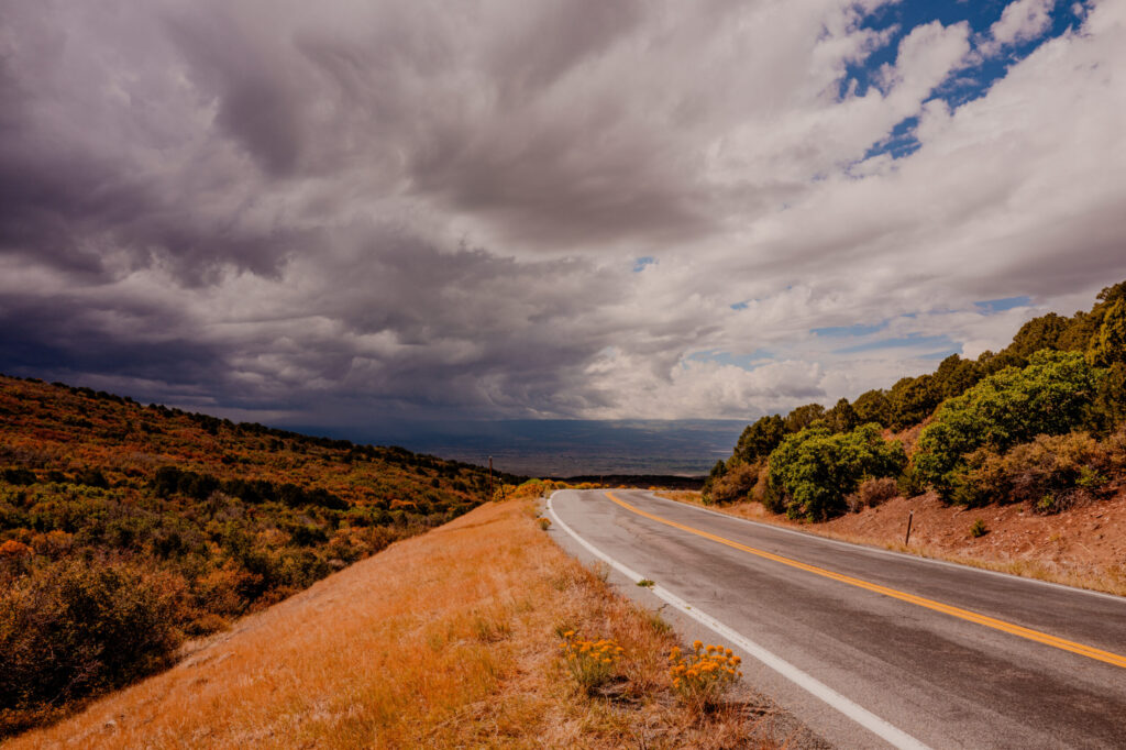
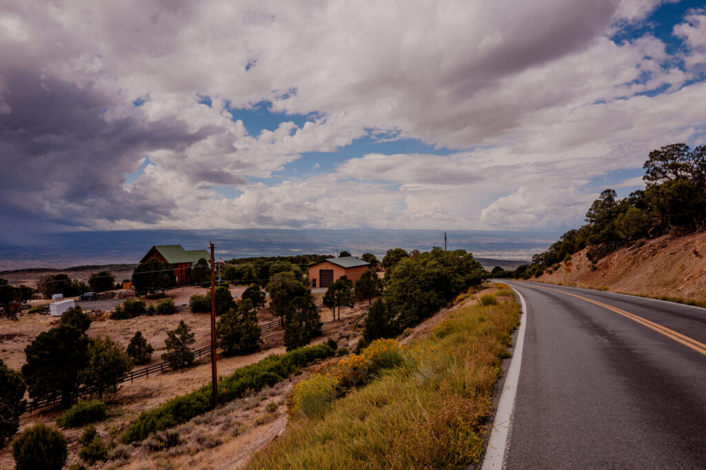
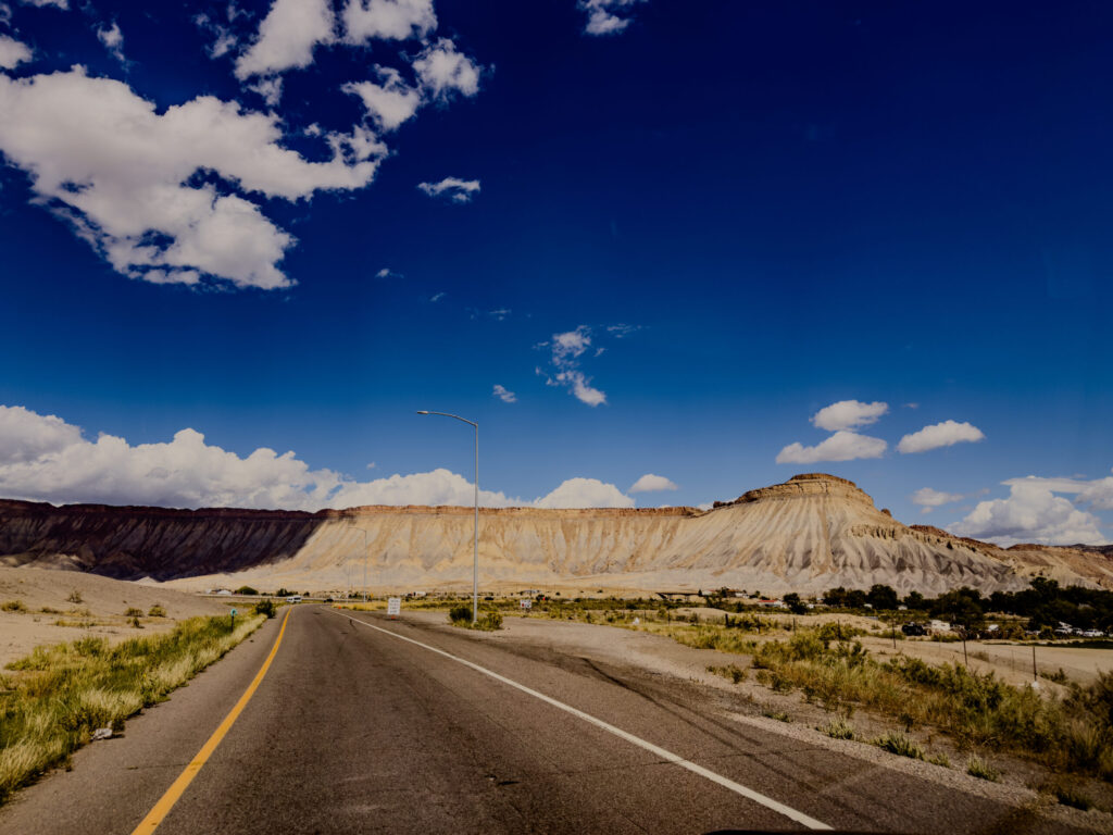
Our route then pushed west past Montrose and the Gunnison River Valley toward Palisade, where we were greeted by the sun-baked Book Cliffs and Mount Garfield.
6. The I-70 Corridor & The Trough Road
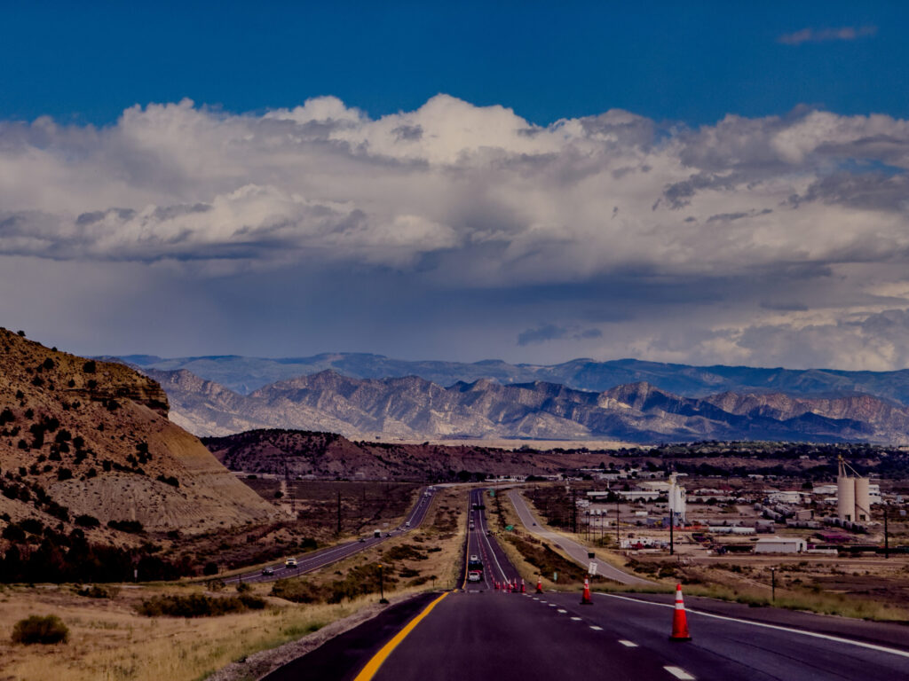
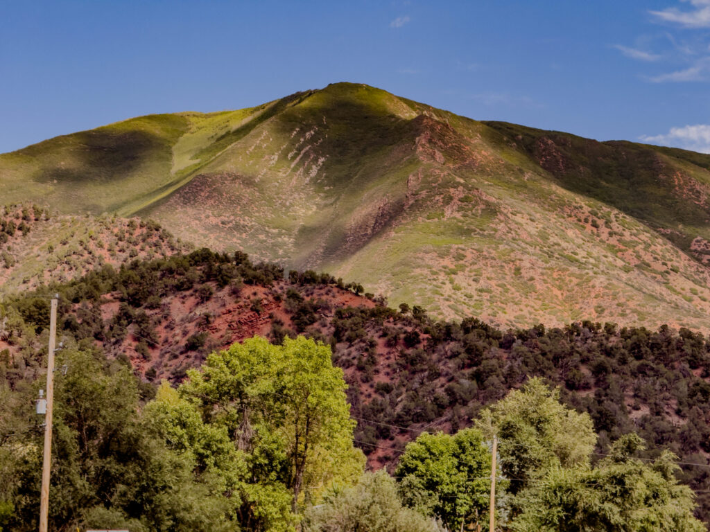
Turning east back into the Rockies, we carved through the Grand Hogback near Rifle, passed Mount Chacra, and wound beneath the engineering marvel of the tiered Glenwood Canyon Viaduct.
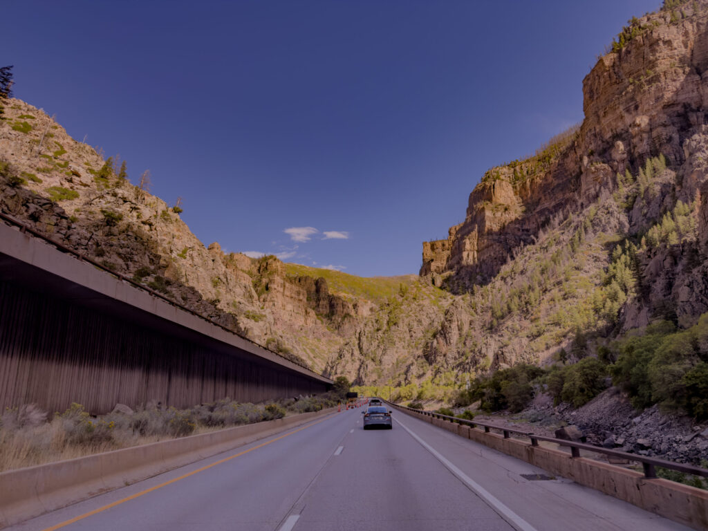
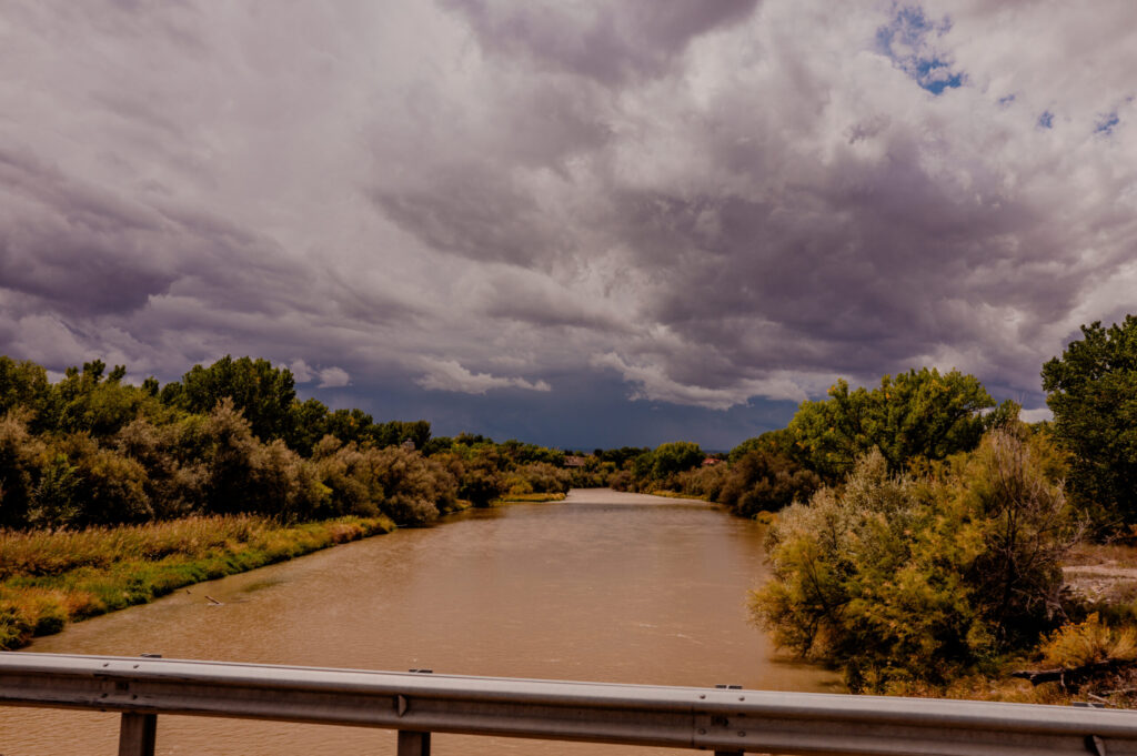
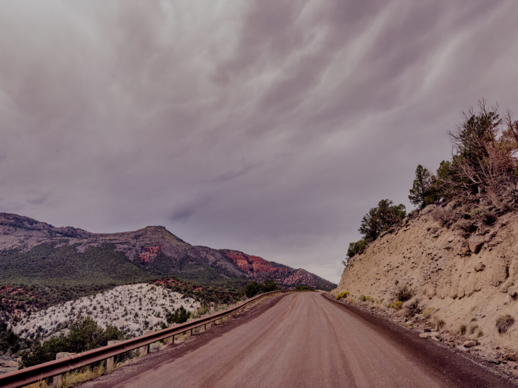
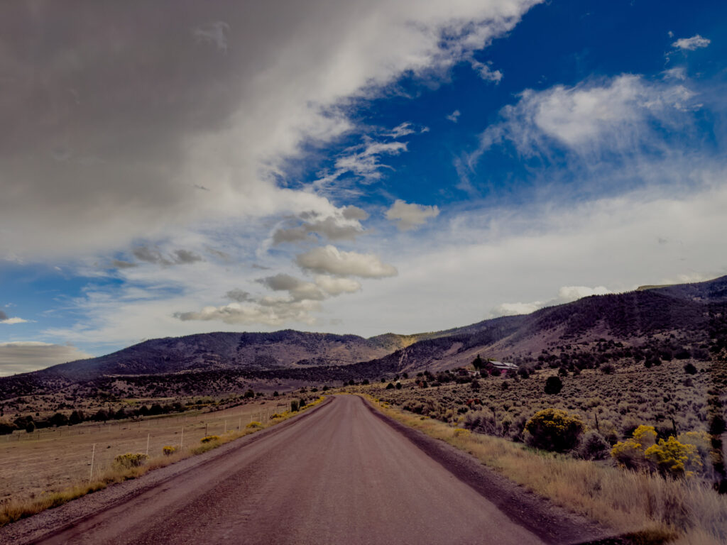
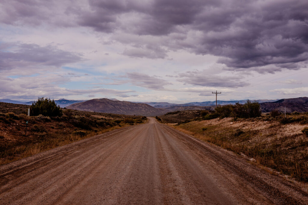
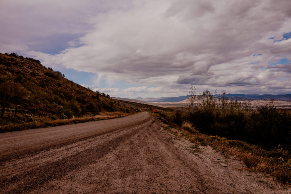
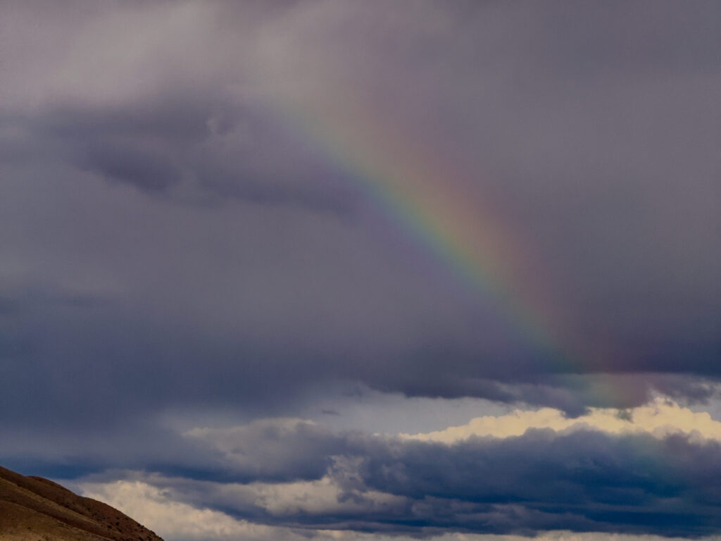
To bypass I-70 traffic, we detoured via the dusty (and mag-chloride-soaked) Trough Road through Bond, hugging the Upper Colorado River. I have no idea why Google Maps takes people down a dirt road without warning but at least it was exciting and ended with a rainbow. (Truck has now been washed.)
7. Grand Lake & Rocky Mountain National Park
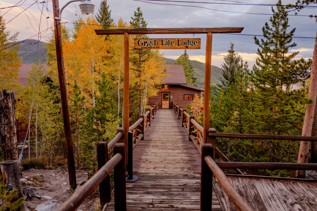
We climbed into Grand Lake to enter the park’s western gateway for our stay at Grand Lake Lodge (once again, more on that one later). Rocky Mountain National Park is bordered by two towns along Trail Ridge Road: Grand Lake and Estes Park. Most of you have probably heard of Estes Park. If you want some quiet along with stars, Grand Lake is for you.
My boys and I first visited Grand Lake Lodge in 2019 and I left this year eager for a 3rd visit. This photo I took soon after our arrival nearly made my Top 20 photos.
I’ll have more on Rocky Mountain National Park, our hikes, and some fun photos from the top in later blog posts.
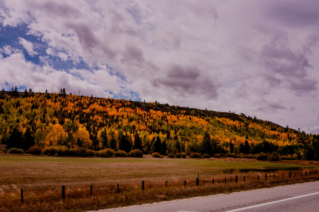
8. The Descent (Berthoud Pass to Green Mountain Falls)
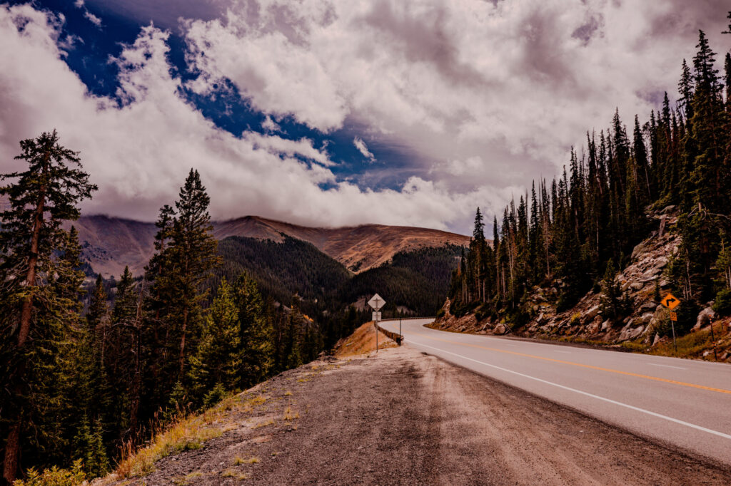
Our final leg climbed the high-alpine switchbacks of US-40 over Berthoud Pass, dropping back down toward the Front Range. If you have never made this drive, it is a little high but beyond gorgeous. If you go to my photo website for the full-size photos, you can see the road off in the distance in the 2nd photo.
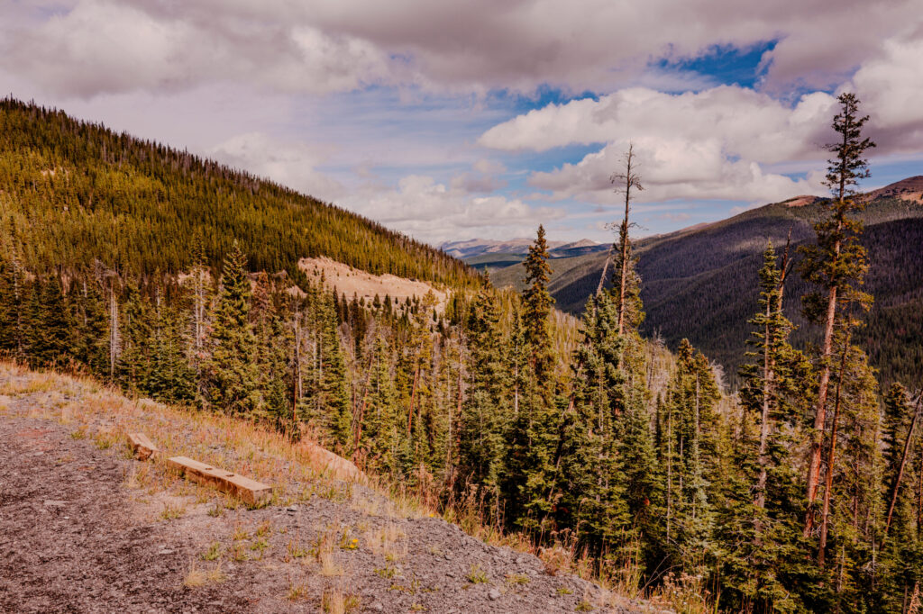
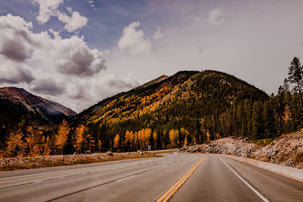
Our mountain journey concluded at Green Mountain Falls tucked into Ute Pass Canyon, marked by clearing storms, views of Pikes Peak Massif, and a dinner we will never forget—for the last time, more on that one later.
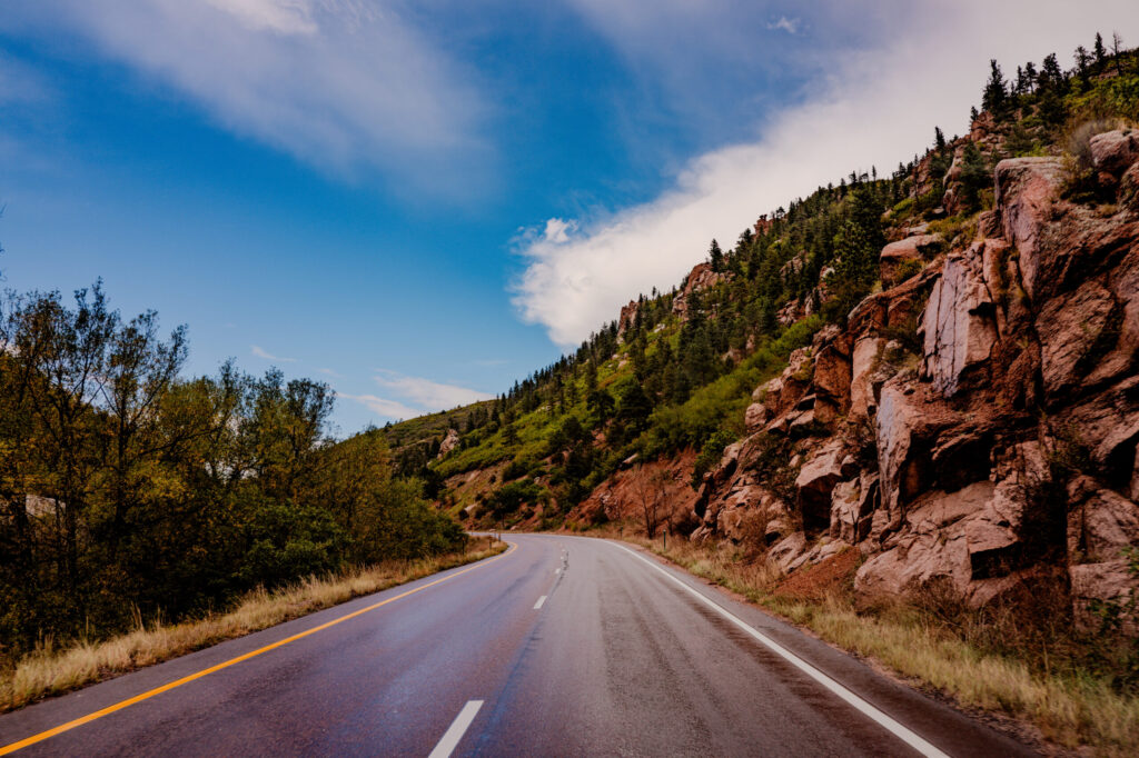
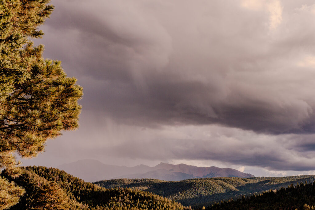
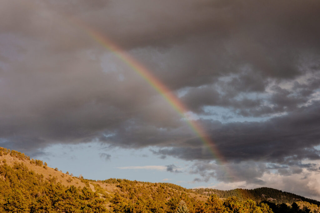
Our journey ends with a rainbow. Gosh, I want to do it all over again.
I’m not sure exactly how I will break up the blog so I’m going to resist an outline for now but the next one will be on the historic (and haunted) St. James Hotel in Cimarron, New Mexico. We stayed in the Jesse James room, and yes, it is named after him because it is where he slept.
As a reminder, full-size photos can be found by clicking on the link below.
https://photos.bluecouchstudios.com/Travel/Colorado-2026/01-Why-Road-Trip

Leave a Reply