
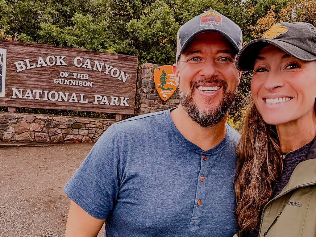
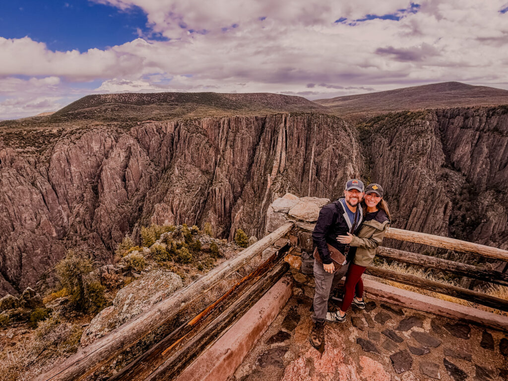
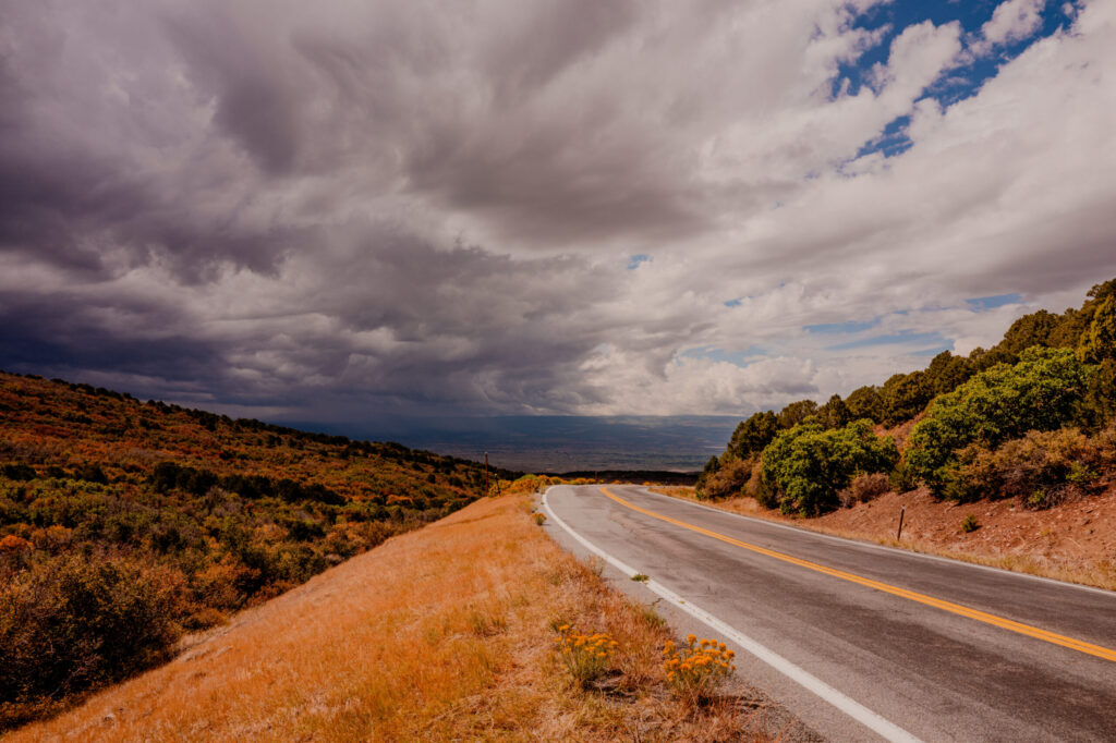
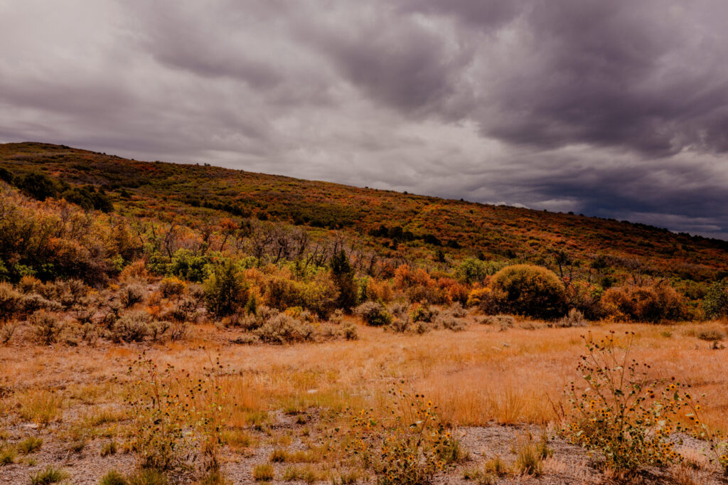
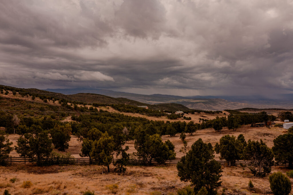
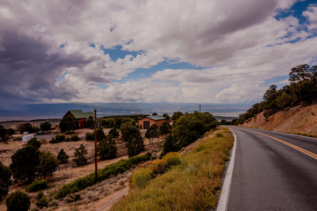
We took a road trip to Colorado and after staying at the historic Beaumont Hotel in Ouray, we made a quick stop at Black Canyon of the Gunnison National Park on the way to Grand Lake and Rocky Mountain National Park.
The Abyssal Threshold
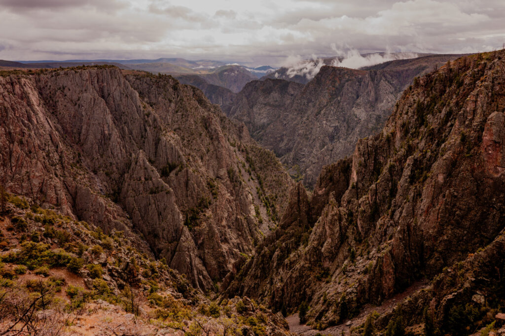
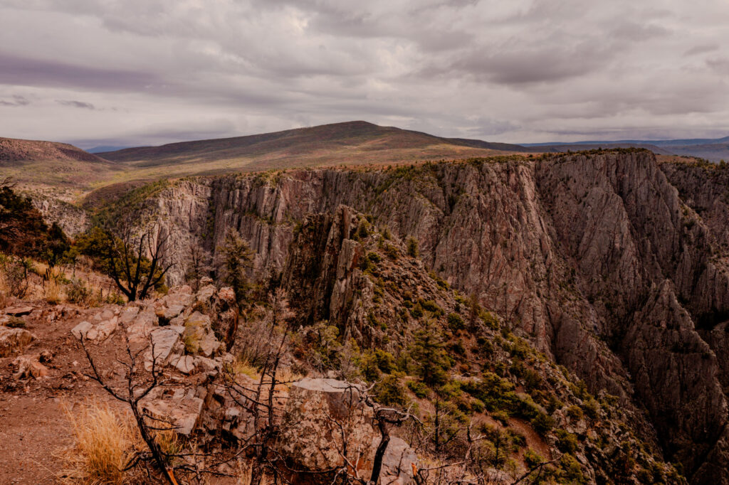
Traveling across the Uncompahgre Plateau presents a quiet, deceptive rhythm. Rolling mesa toplands, muted sagebrush, and expansive blue skies give no immediate indication of the violent tear in the earth waiting just ahead. Then, without transition or prelude, the flatland collapses into a vertical drop of more than two thousand feet. Standing on the rim of Black Canyon of the Gunnison is an exercise in sudden spatial calibration. The eyes must instantly adjust from wide-angle horizon lines to an extreme, high-dynamic chasm where light dies quickly and ancient metamorphic rock rises in sheer, vertical slabs. Far below, the white ribbon of the Gunnison River roars with an acoustic resonance that echoes off canyon walls older than life itself.
Captain Gunnison and the 38th Parallel Survey
The canyon and the river carving through its depths bear the name of Captain John Williams Gunnison of the U.S. Army Corps of Topographical Engineers. In the summer of 1853, Gunnison was tasked by the War Department with mapping a central transcontinental railroad route along the 38th parallel. Descending from Cochetopa Pass, his expedition encountered the abyssal gorge—then known to Spanish explorers as the Río de San Javier and to fur trappers as the Grand River. Recognizing that steam locomotives could never negotiate such verticality, Gunnison documented the impassable chasm in his journals and bypassed the canyon to the south. Just months later, in October 1853, Gunnison and seven members of his team were ambushed and killed near Sevier Lake, Utah. To honor his service and mapping, the federal government permanently attached his name to the river and the canyon.
The Tabeguache Ute and the Canyon of Shadows
Centuries before military surveyors arrived with transit levels, the rimlands were the seasonal hunting grounds of the Tabeguache Ute, also known as the Uncompahgre Ute. During the brief alpine summers, Ute bands traversed the high mesas to track elk, bighorn sheep, and mule deer. Yet despite their intimate knowledge of the terrain, the Ute rarely descended into the depths of the inner canyon. The extreme verticality, dangerous river currents, and near-perpetual darkness of the floor inspired deep spiritual reverence. They regarded the inner gorge as a sacred realm of shadows—a place where human presence was meant to yield to the immense forces of nature.
Deep Time and the Painted Wall
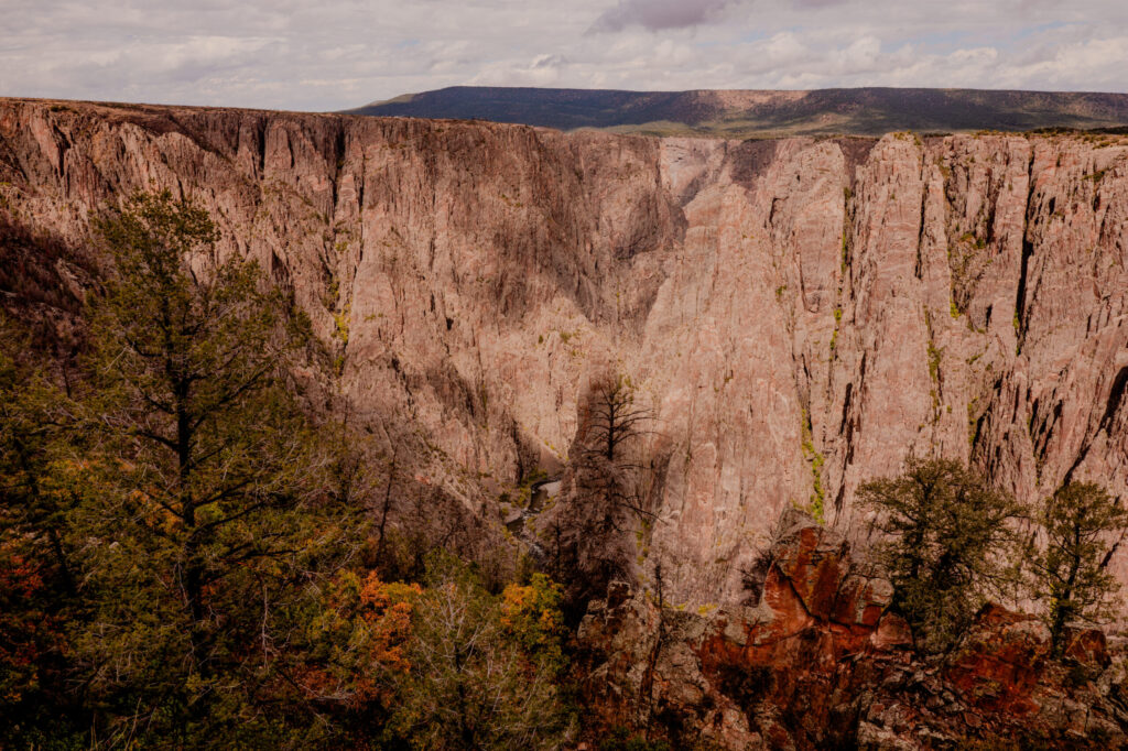
Geologically, Black Canyon offers an unarmored view into North America’s deep basement. The walls consist of dark Precambrian metamorphic schist and gneiss forged under immense heat and pressure nearly 1.8 billion years ago. Millions of years after this dark mantle formed, intense tectonic forces injected molten, mineral-rich pink granite into the fractures. As this magma cooled, it crystallized into striking bands of microcline pegmatite. The most famous manifestation of this ancient geological clash is the Painted Wall, a 2,250-foot vertical cliff face laced with fiery pink veins. Beginning roughly two million years ago during the Uncompahgre Uplift, the gravel-heavy Gunnison River began cutting downward at a rate of roughly one inch per century. Because the underlying Precambrian rock was extraordinarily dense, the river carved straight down rather than widening out, creating a gorge where sheer depth drastically dominates width.
The Physics of Light and Darkness
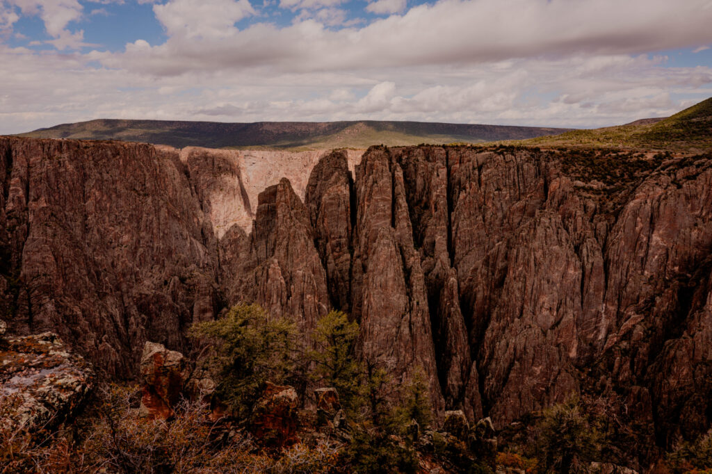
The descriptive name “Black Canyon” is an observation of pure physics. At Chasm View, the canyon measures 1,100 feet across at the rim, but constricts to a narrow 40 feet at the riverbed. Because the walls descend at near-ninety-degree angles, vast portions of the inner gorge receive as little as 33 minutes of direct sunlight per day. The result is an extraordinary visual contrast: intense, high-altitude alpine sunlight illuminating the rim, while the lower depths remain plunged in cold, near-black shadow. Framing these vistas requires careful exposure management, capturing both the brilliant highlight of the upper plateau and the rich, hidden detail held within the dark metamorphic rock below.
The Gunnison Tunnel and Taming the Abyss
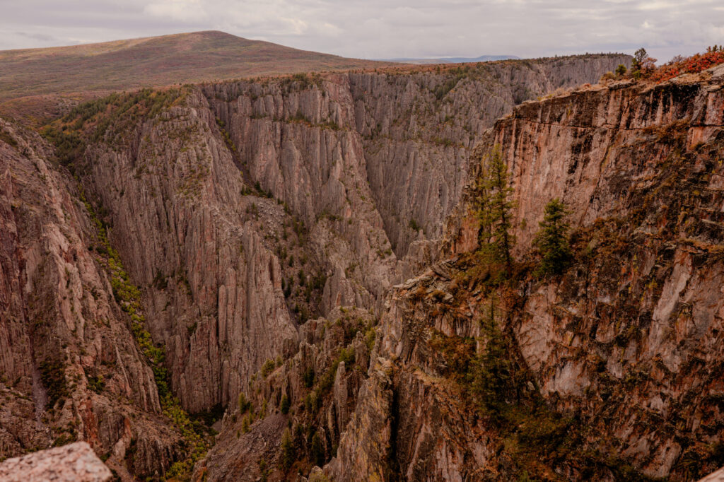
In the late 19th century, human engineering set its sights on the canyon floor. William Jackson Palmer’s Denver & Rio Grande Railroad pushed narrow-gauge tracks through the upper canyon at Cimarron in 1881, creating a daring mountain rail passage. However, the inner gorge remained unexplored until 1901, when surveyor Abraham Lincoln Fellows and guide William Torrence braved the roaring rapids using air-inflated rubber mattresses and oilcloth packs. Their 10-day reconnaissance mapped the canyon floor and proved the feasibility of an irrigation diversion project. Between 1905 and 1909, crews blasted the 5.8-mile Gunnison Tunnel straight through Precambrian granite. Dedicated by President William Howard Taft in 1909, the tunnel successfully diverted river water to transform the arid Uncompahgre Valley into fertile farmland.
The Unhurried View from the Rim
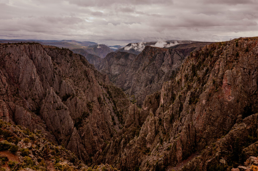
To stand at the rim of Black Canyon is to step out of the frantic, short-term cadence of modern life and enter deep time. It is a place that demands stillness, quiet observation, and respect for scale. Here, the sheer weight of history, geology, and human persistence converges into a singular landscape of light and shadow—a reminder that the most profound realities are often found not in loud declarations, but in the quiet, enduring depths beneath our feet.
Next post, we move to Grand Lake Lodge inside Rocky Mountain National Park — one of my favorite places on earth.
You can view full size versions of these images by clicking this link.

Leave a Reply